The last couple of years (like in 2016) we have made a habit of going down to southwest Washington in the Stevenson area along the Columbia River Gorge. In the past, we went in Spring but we never had any luck with weather so this year we switched to Fall. We got a nice couple of days with friends and a very pleasant hike in.
Beacon Rock
We drove down on Saturday and turned onto highway 14 (The Lewis & Clark Highway) at the Washington/Oregon border. Along that road is a monolith called Beacon Rock. You should look at that link because the google maps satellite view of the rock has a pretty neat 3-D effect when you scroll around over it.
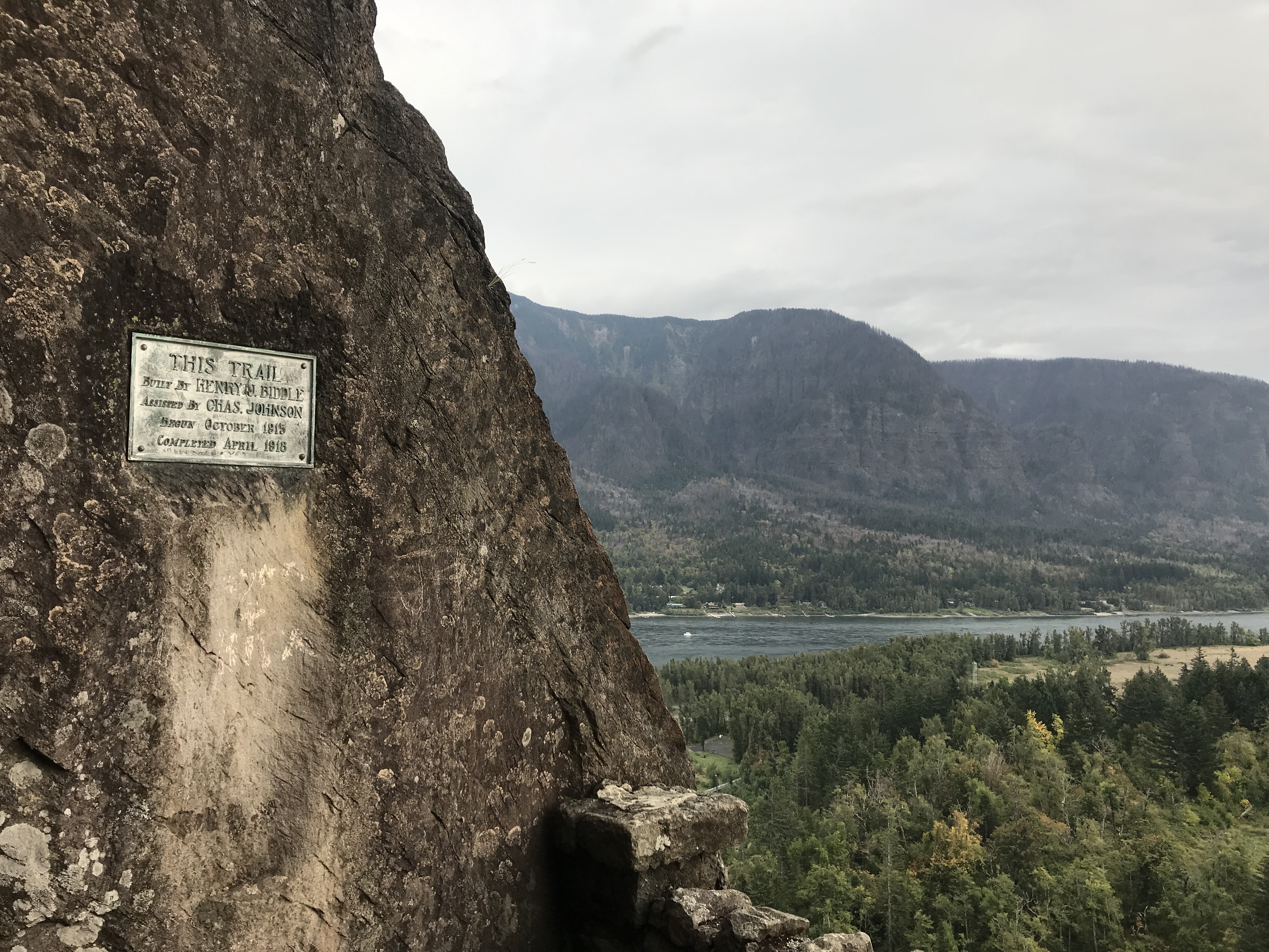
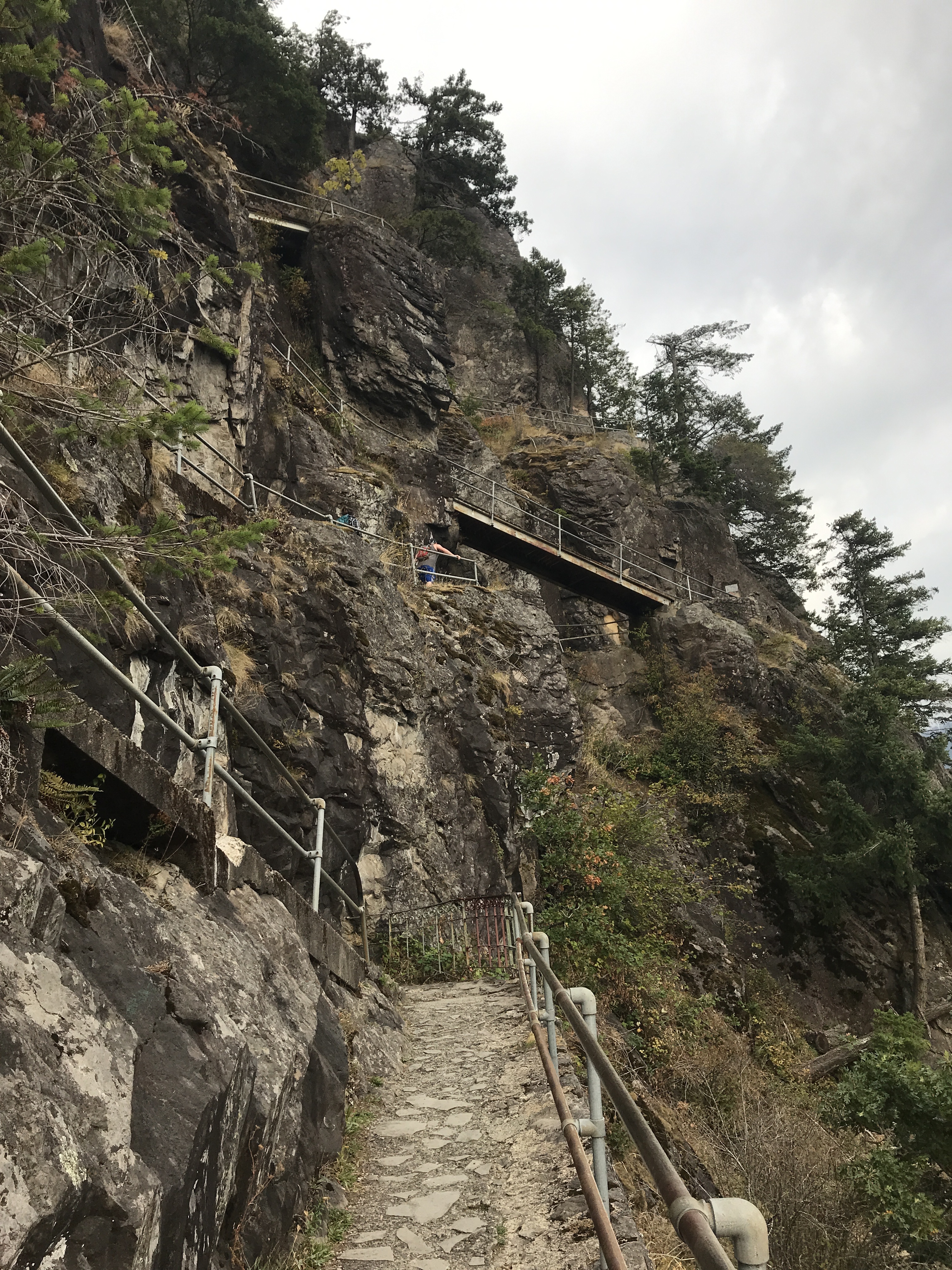
There is a trail up to the top that was created by Henry Biddle around about 1915-1918 as you can see on the plaque. It is a series of switchbacks with handrails and bridges and is about a mile long.
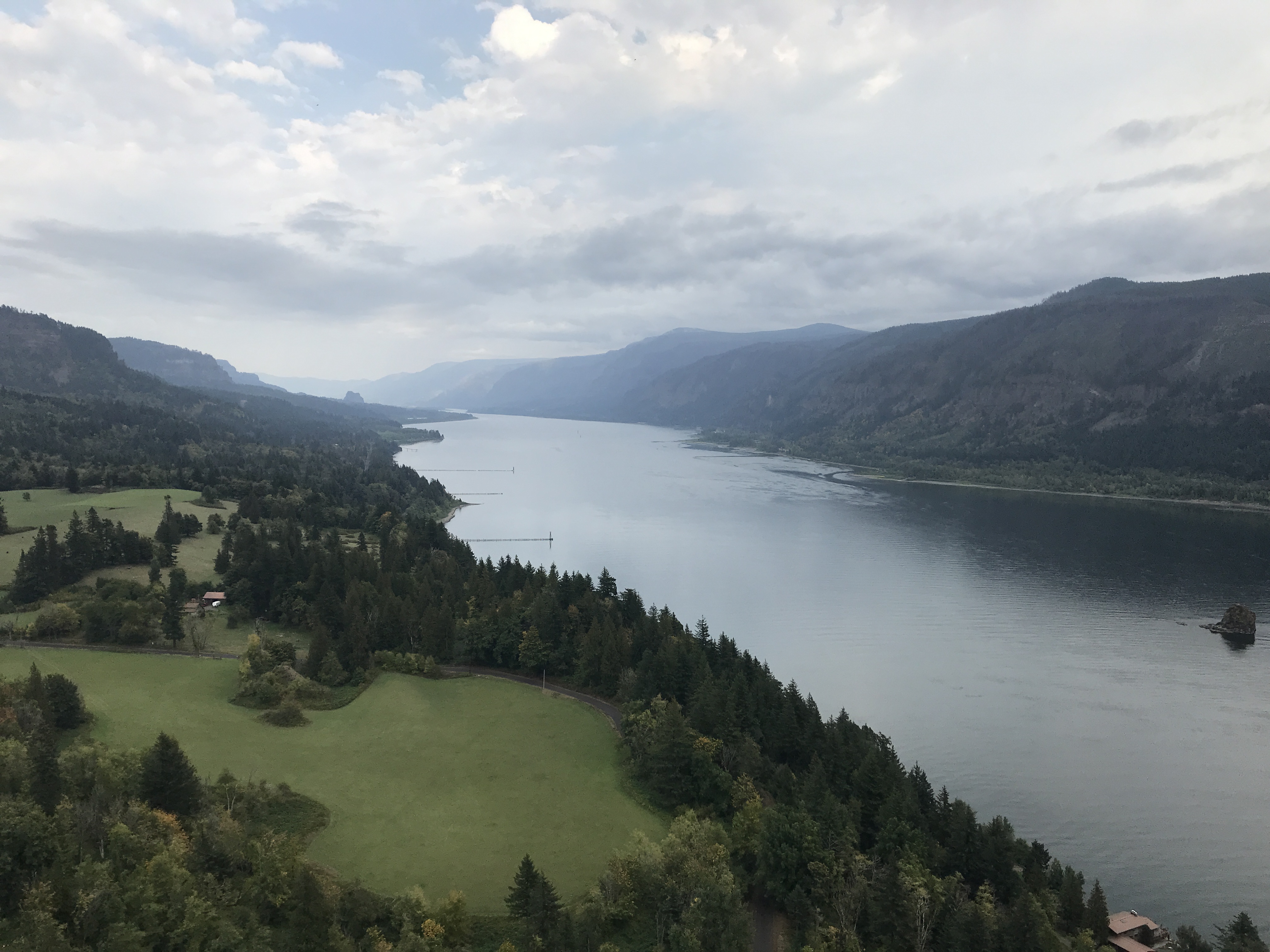
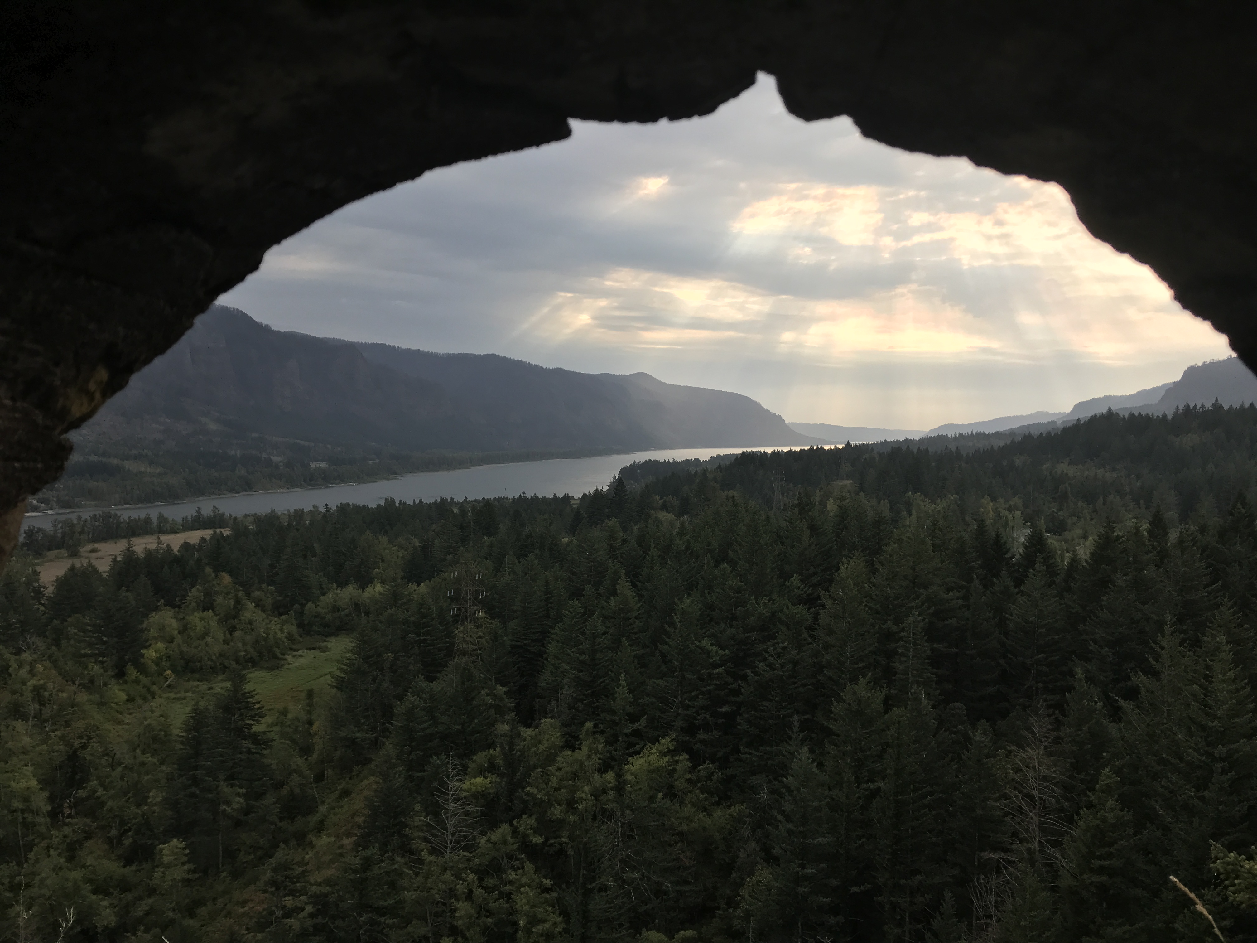
The views of the River were nice
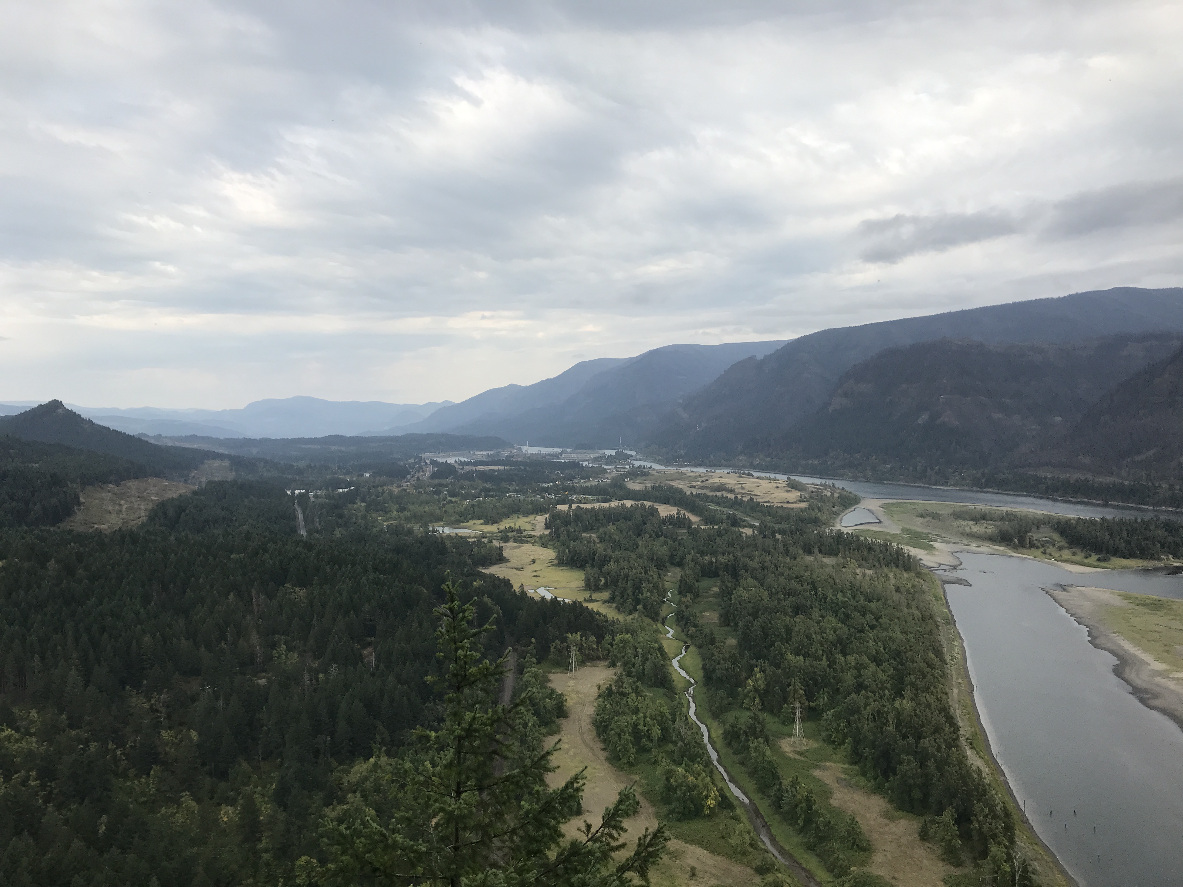
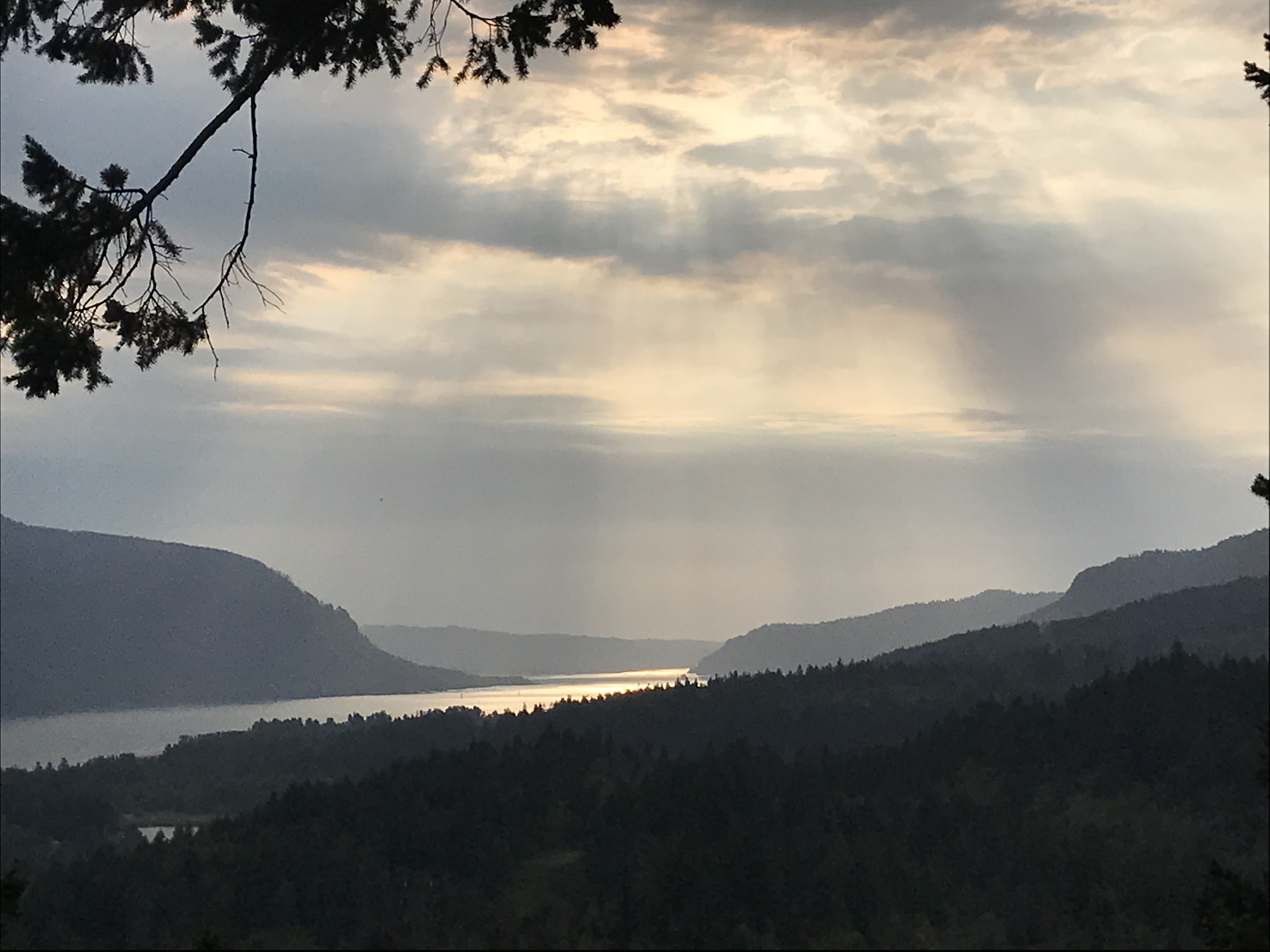
There were lots of dramatic filtered sun views to the west
The top was a small area inside a grove of trees and kind of anti-climactic. Beacon Rock is a nice detour worth a stop.
This area of the state is renowned for its local breweries so our evening was spent enjoying dinner with friends at the Walking Man Brewpub. I particularly enjoyed the Pale Strider.
Coyote Wall
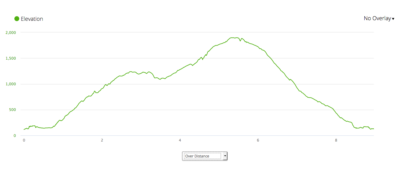
The next day we drove about half an hour east to a trail called Coyote Wall.
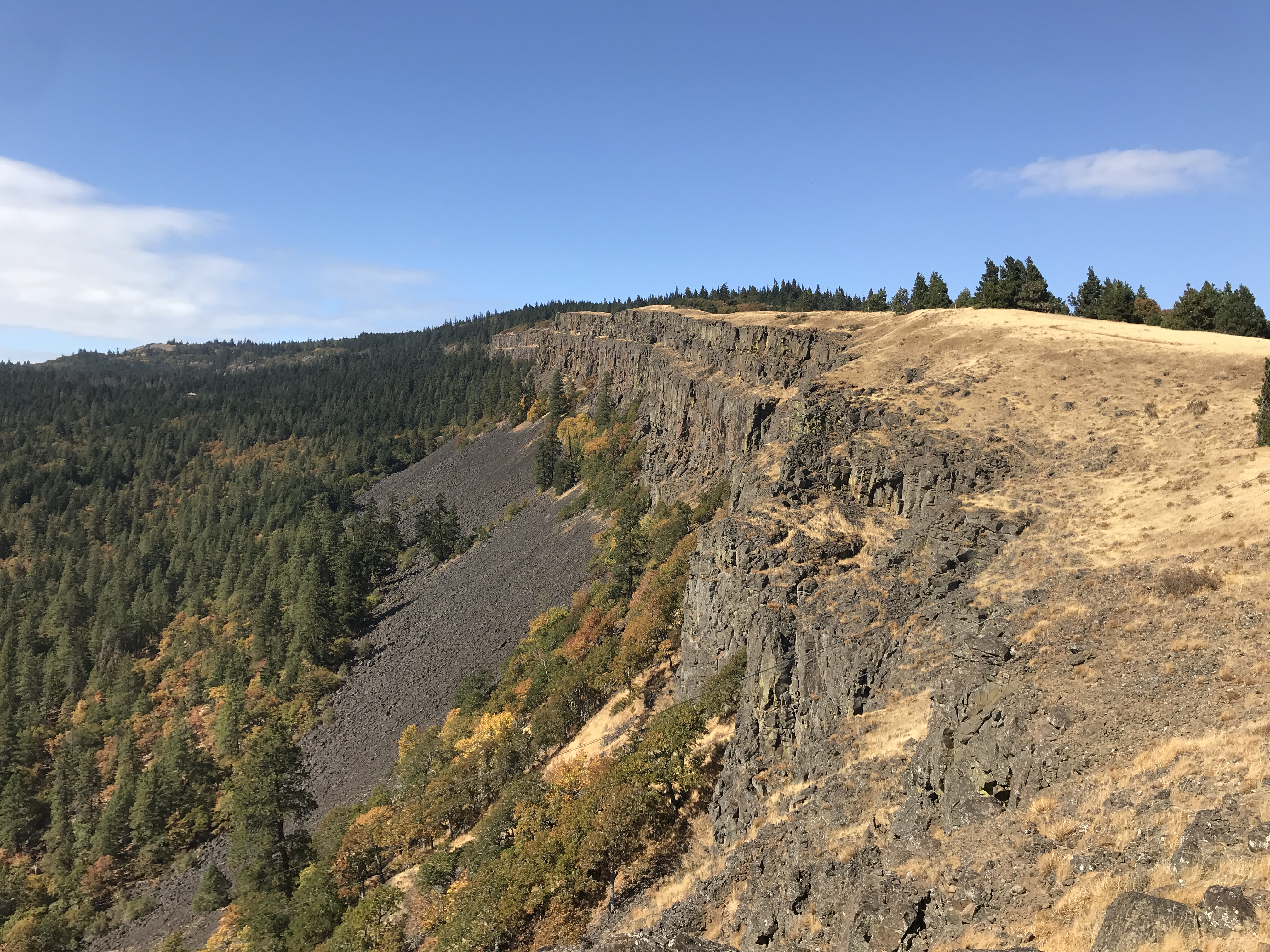
The Wall
It was fairly cloudy and gloomy at our cabins at the Skamania Coves but if you go east of about White Salmon the weather tends to be a lot nicer. That was the case on Sunday. There was still some dramatic clouds in the morning though.
The trail led up above the river through a winding path called, appropriately enough the Labyrinth. It was covered with poison oak so we stuck to the trail.
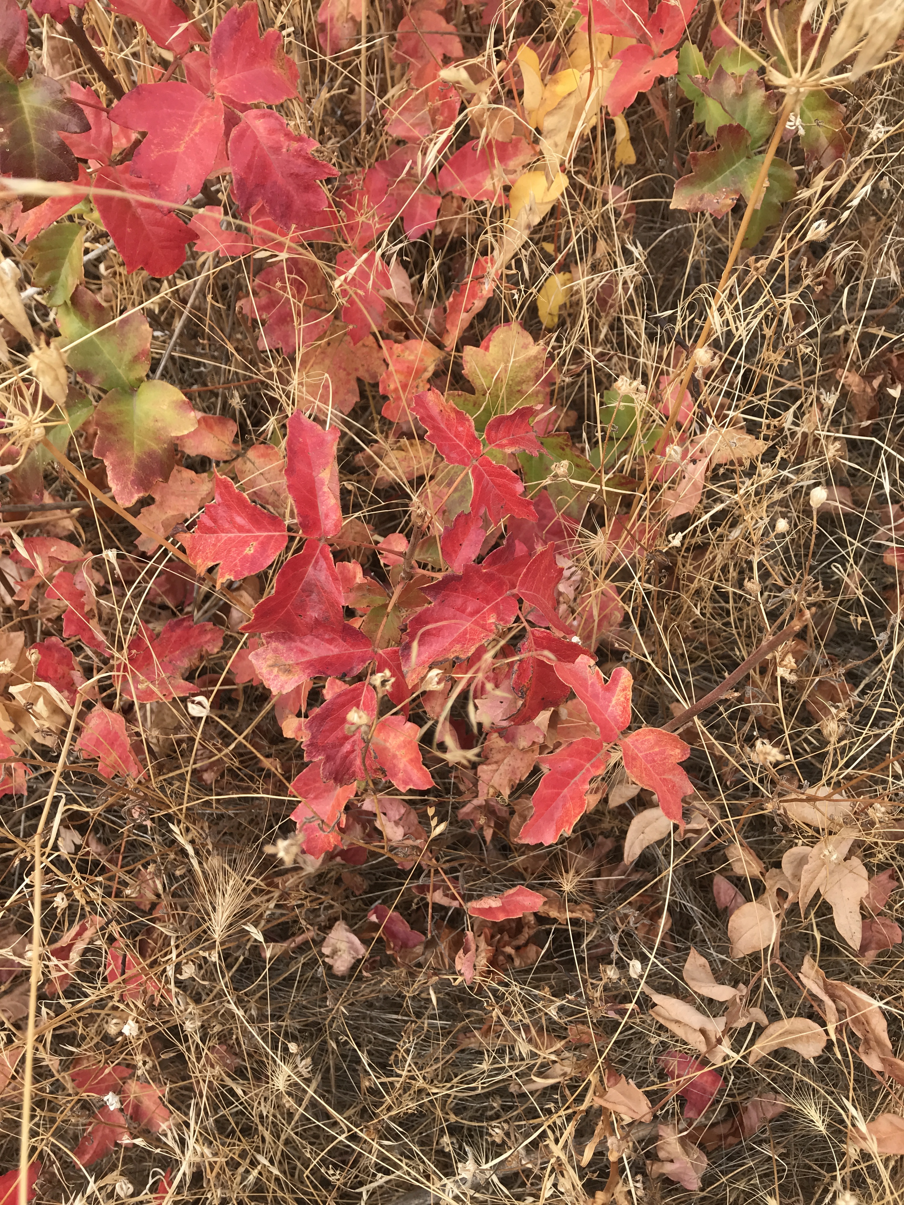
Leaves of three, leave it be
At least it was a bright red so easy to avoid. The trail winds its way up and comes at the wall from the east.

Our loop was counter-clockwise
The route to the wall is a bit circuitous but easier that way since it climbs a lot.
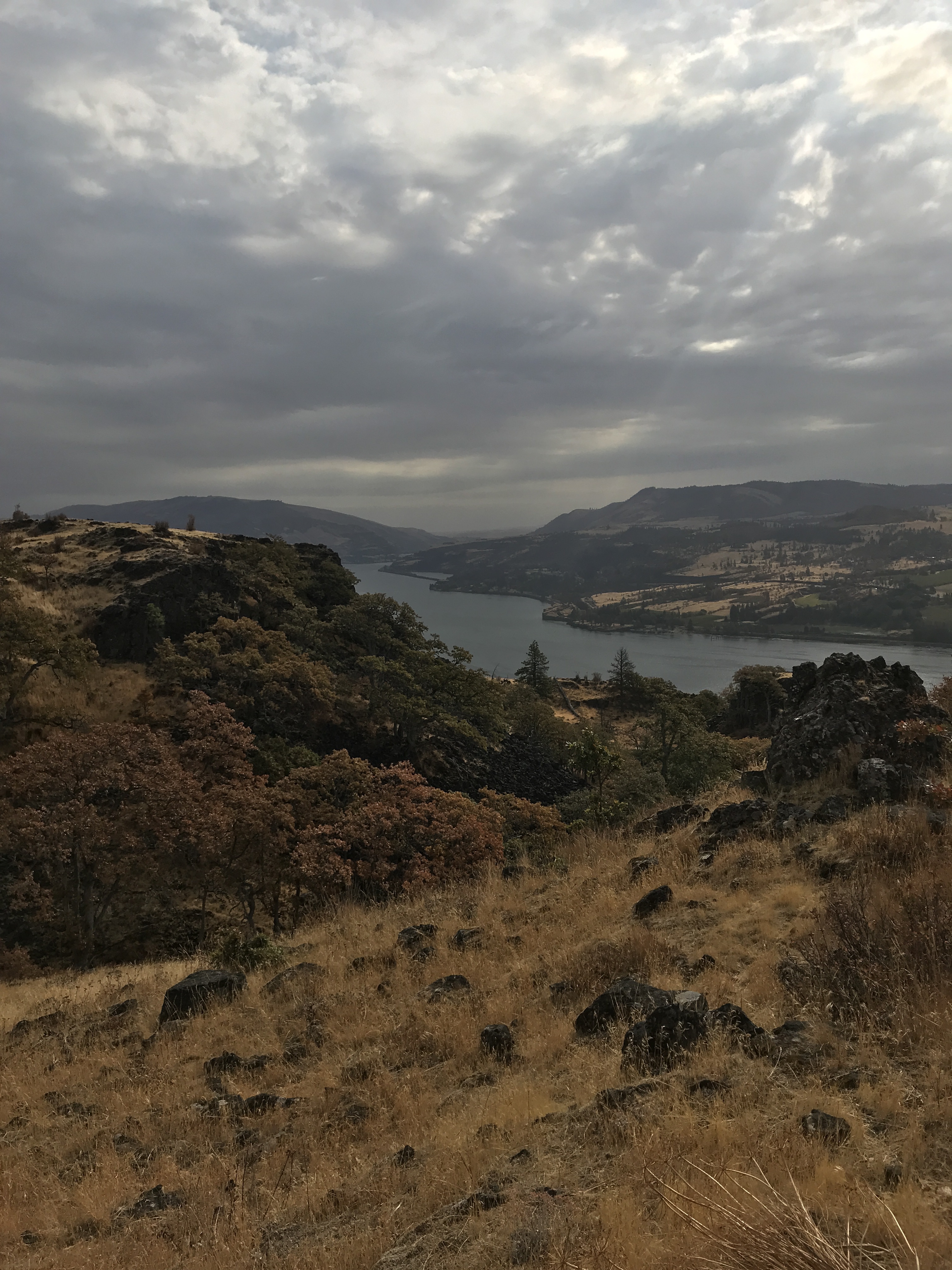
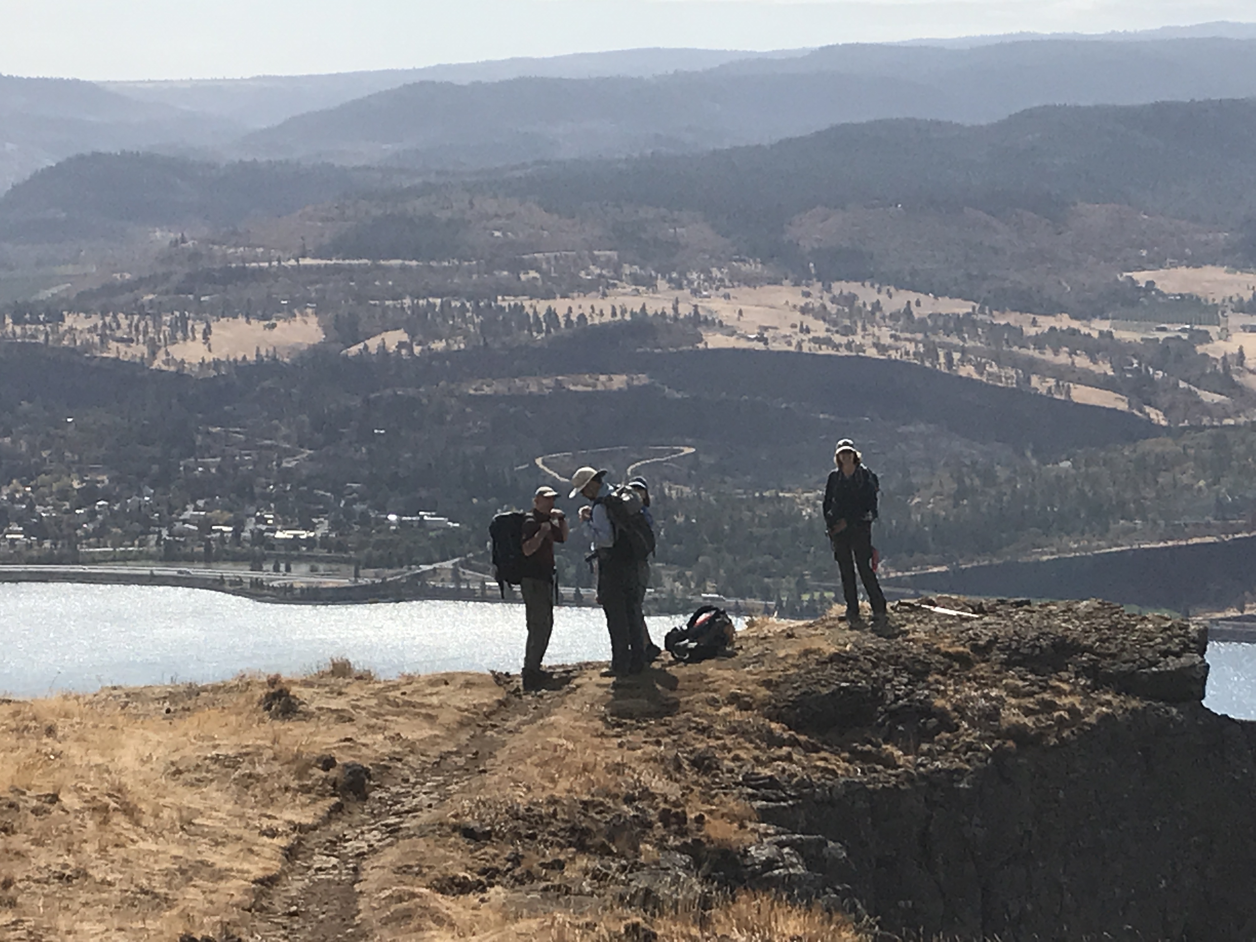
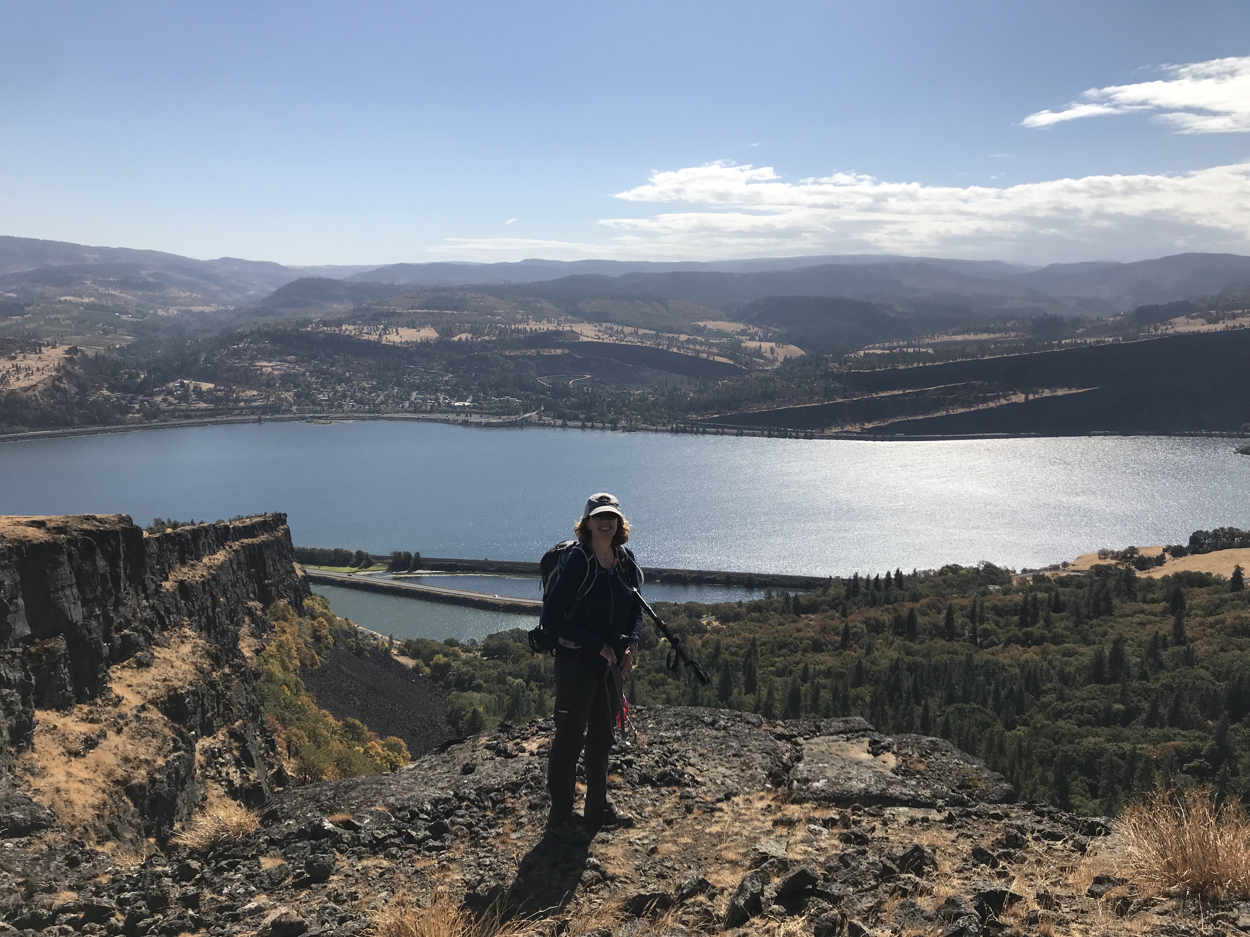
The wall gives you some nice views of the River below
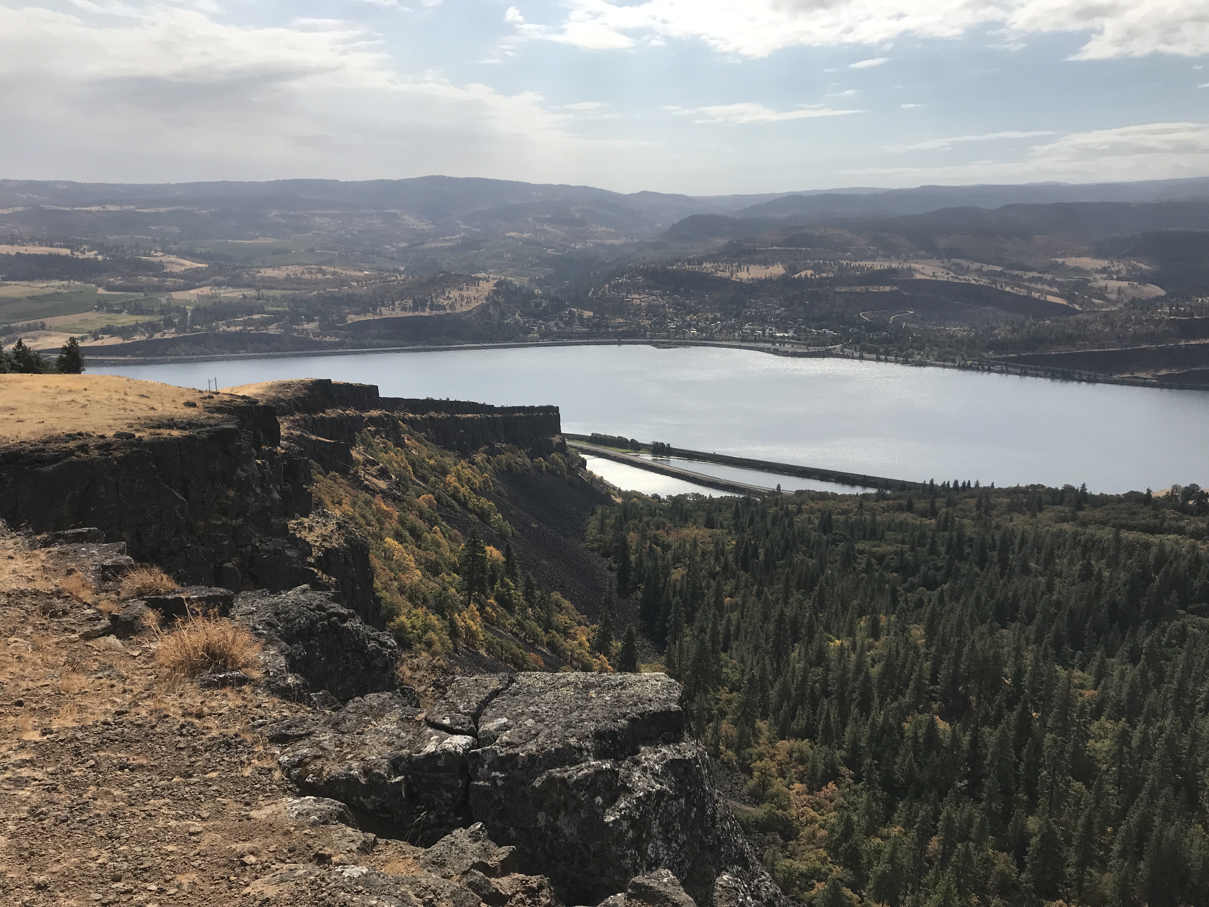
We stopped there to enjoy lunch
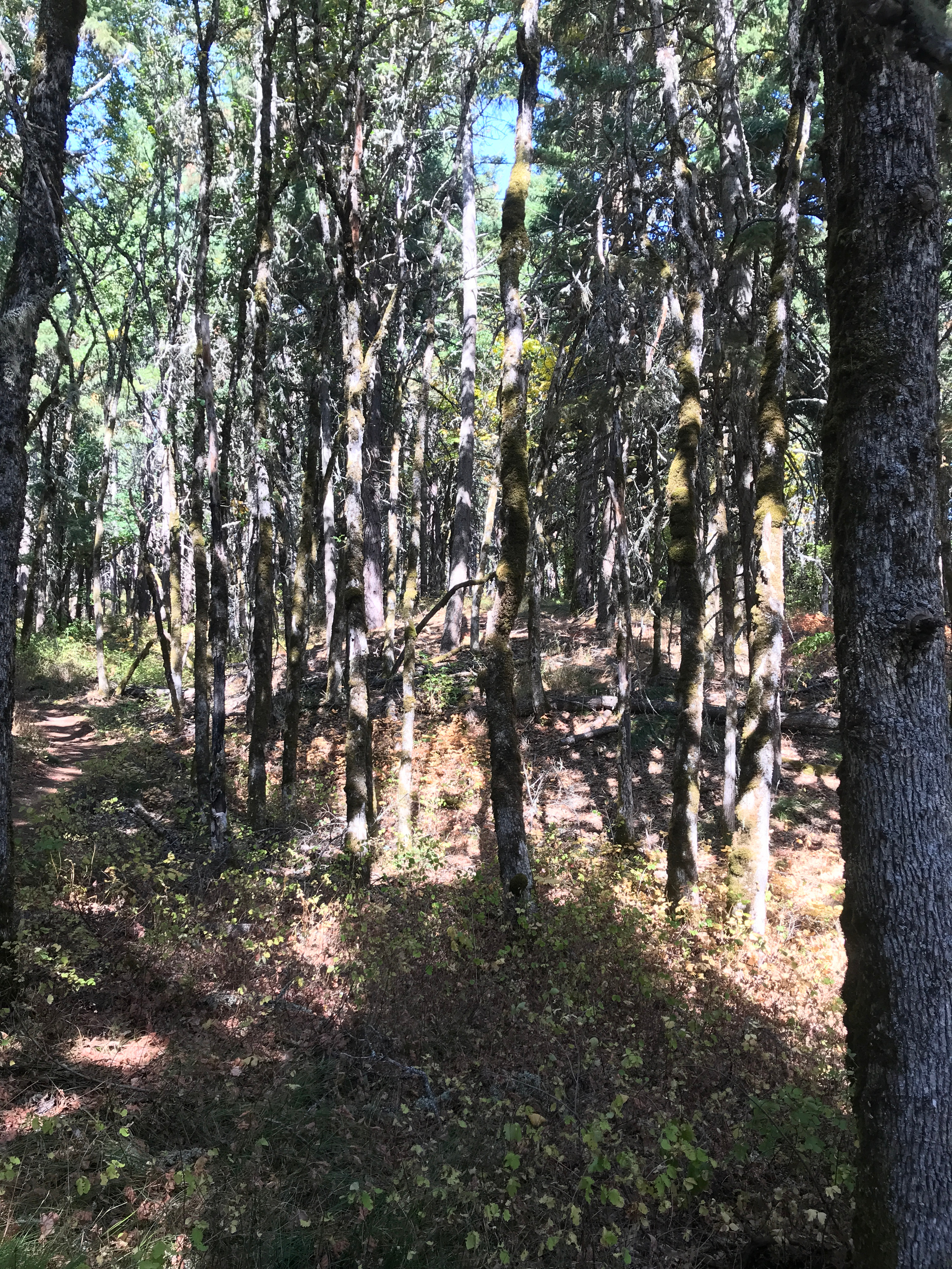
The map showed what looked like a trail down the wall above us that we decided to check on so we moved uphill into what eventually became an oak forest.
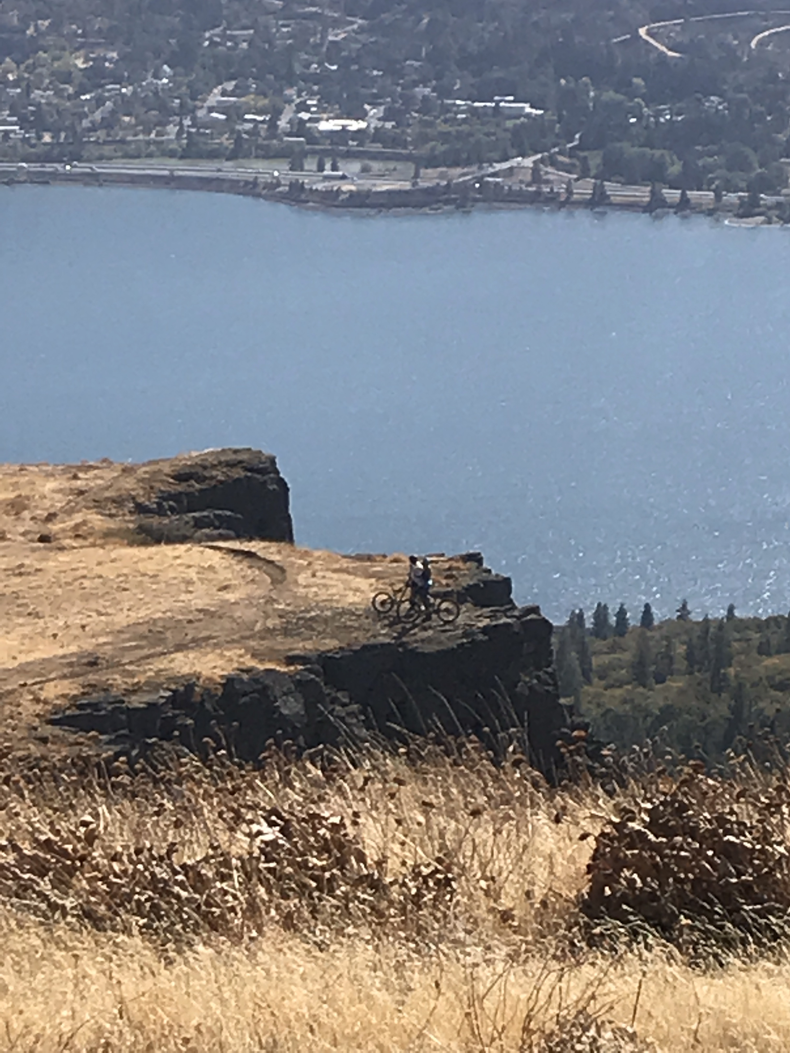
We never found the route down. There was one path that headed the right direction but it just rejoined the path we took up to it. We did meet some crazy mountain bikers (redundant, I know) going down the trail.
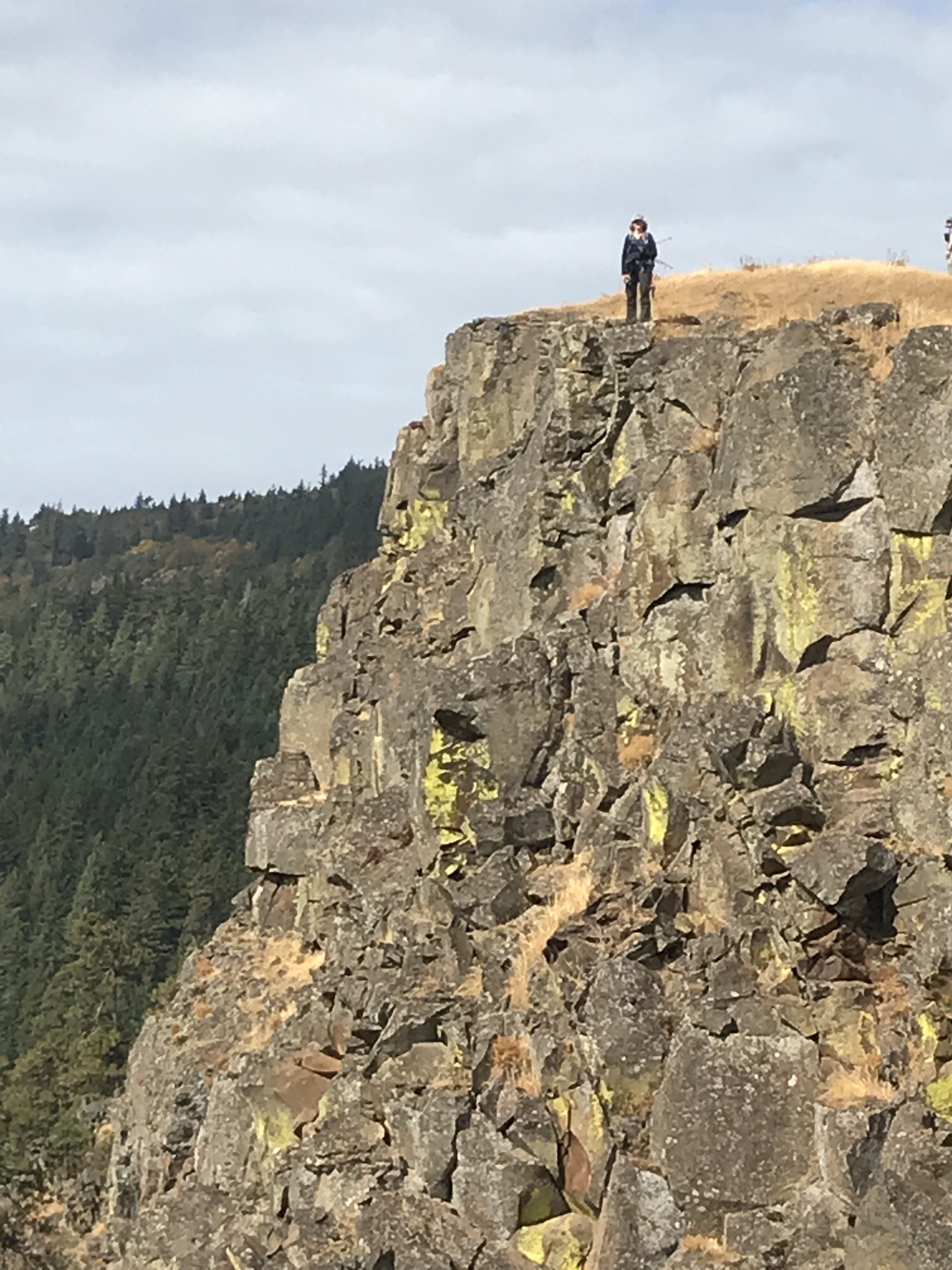
Time for another quick epic shot before heading down.
The evening we had a nice meal at the cabin and I made a cake for dessert. It turned out pretty good.