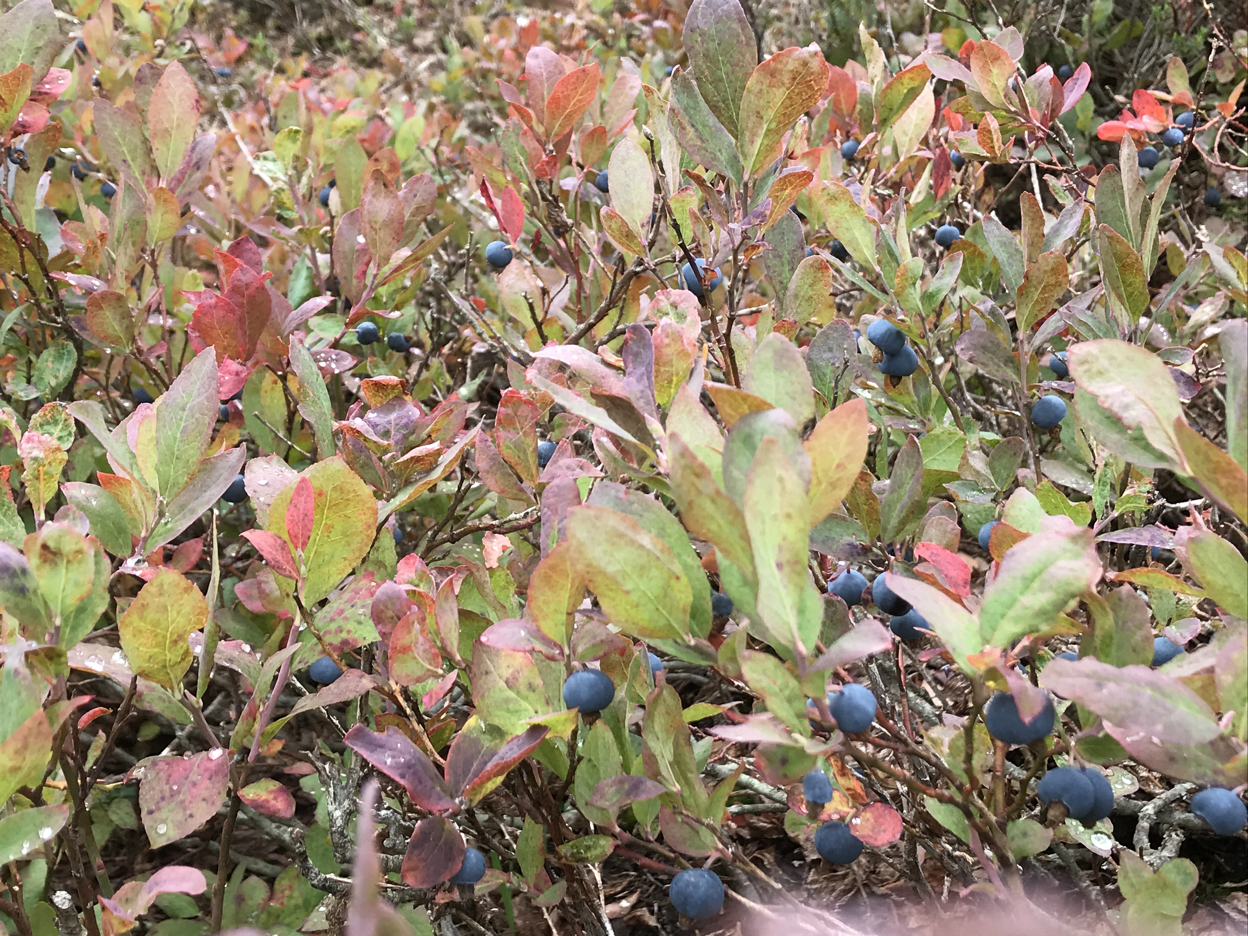
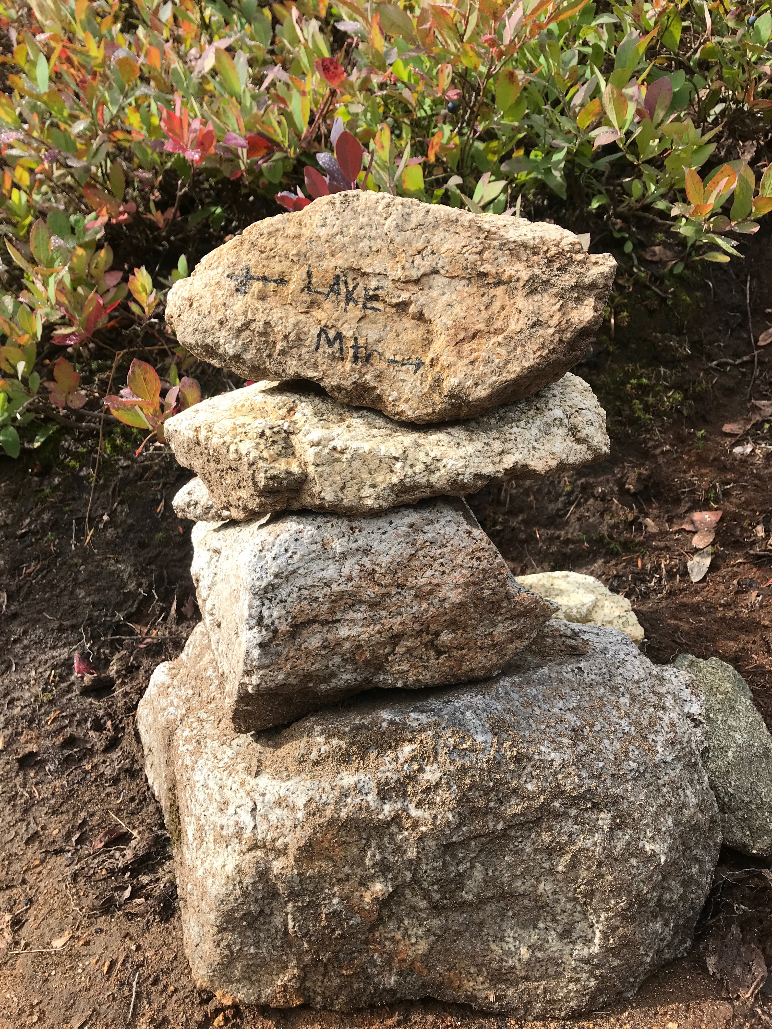
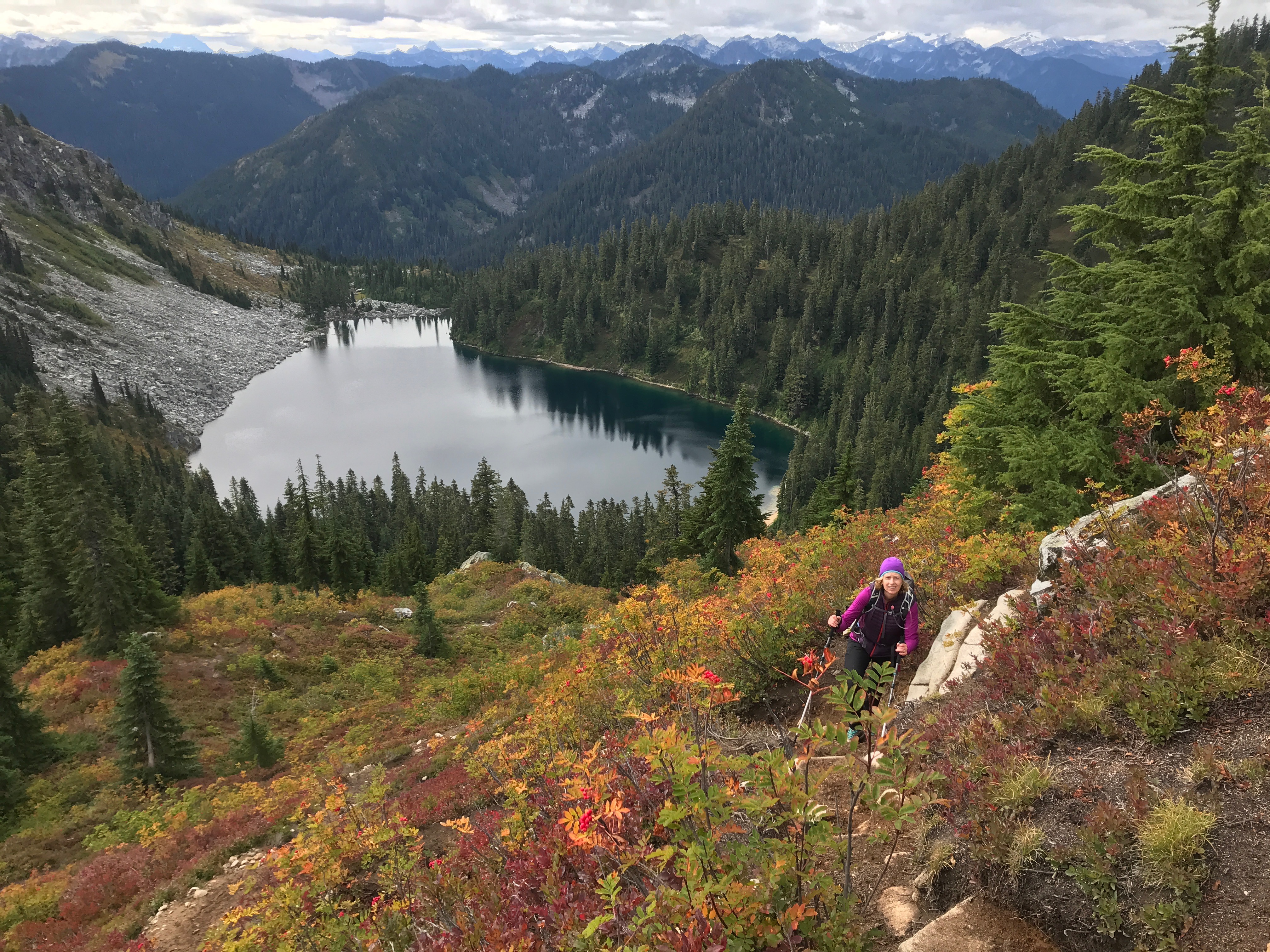
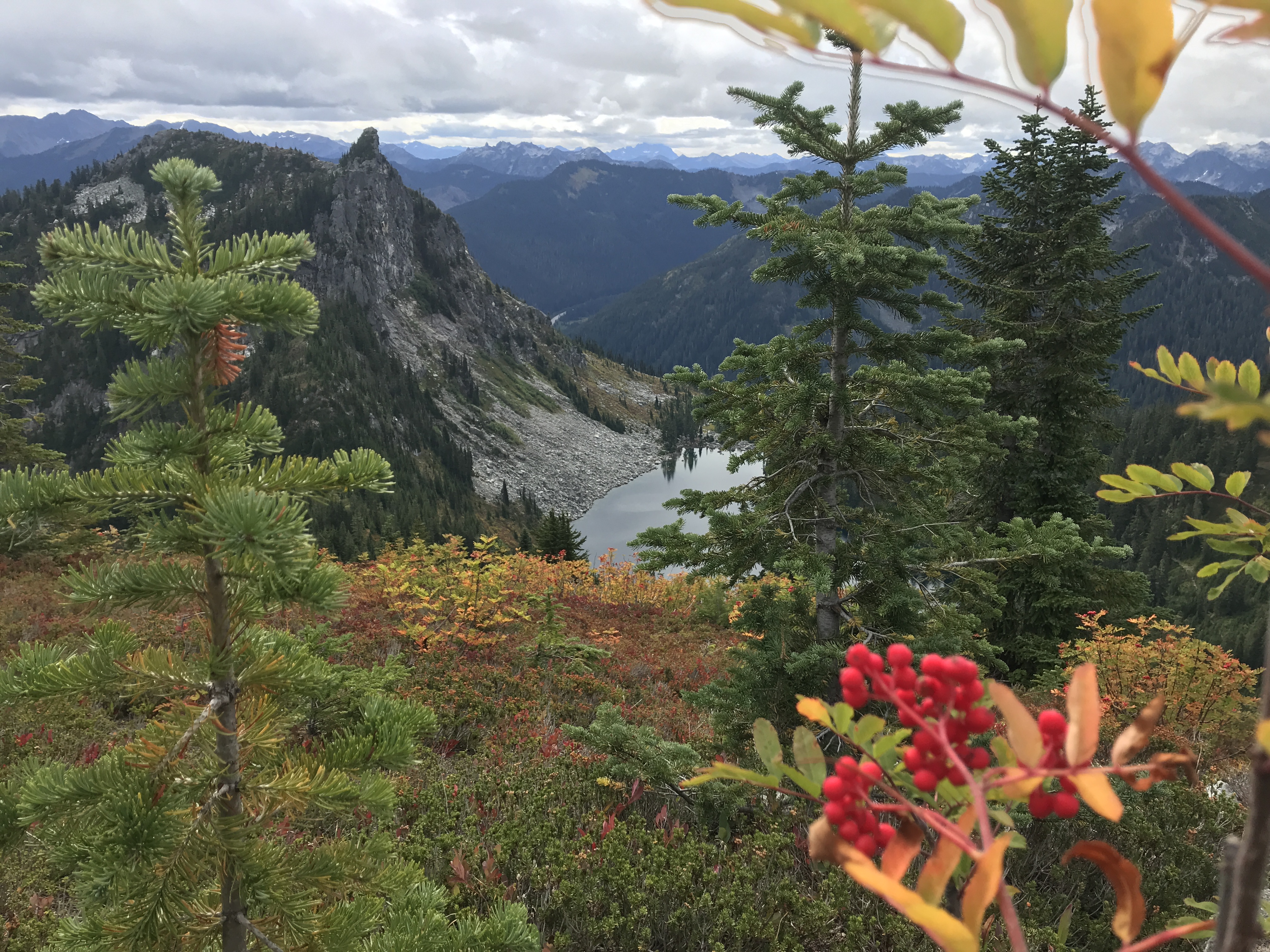
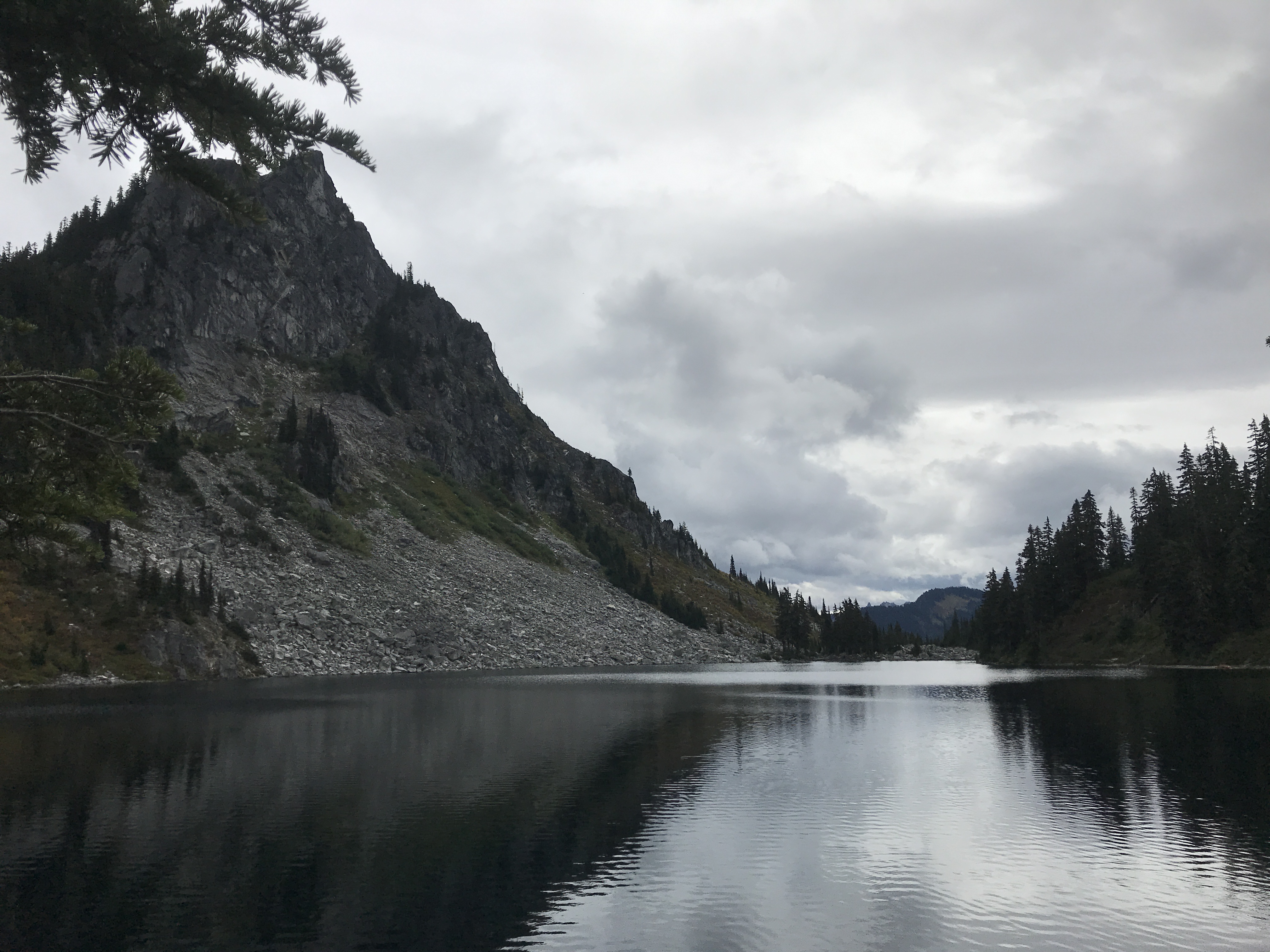
Mount McCausland delivers mountain views, lake views, and even solitude at the summit. The cost? The first three miles of the trail is easy, but the last half-mile to the summit is steep and occasionally brushy. Taking a break on that climb is no hardship though: the hillside is carpeted in berries and the views start early.
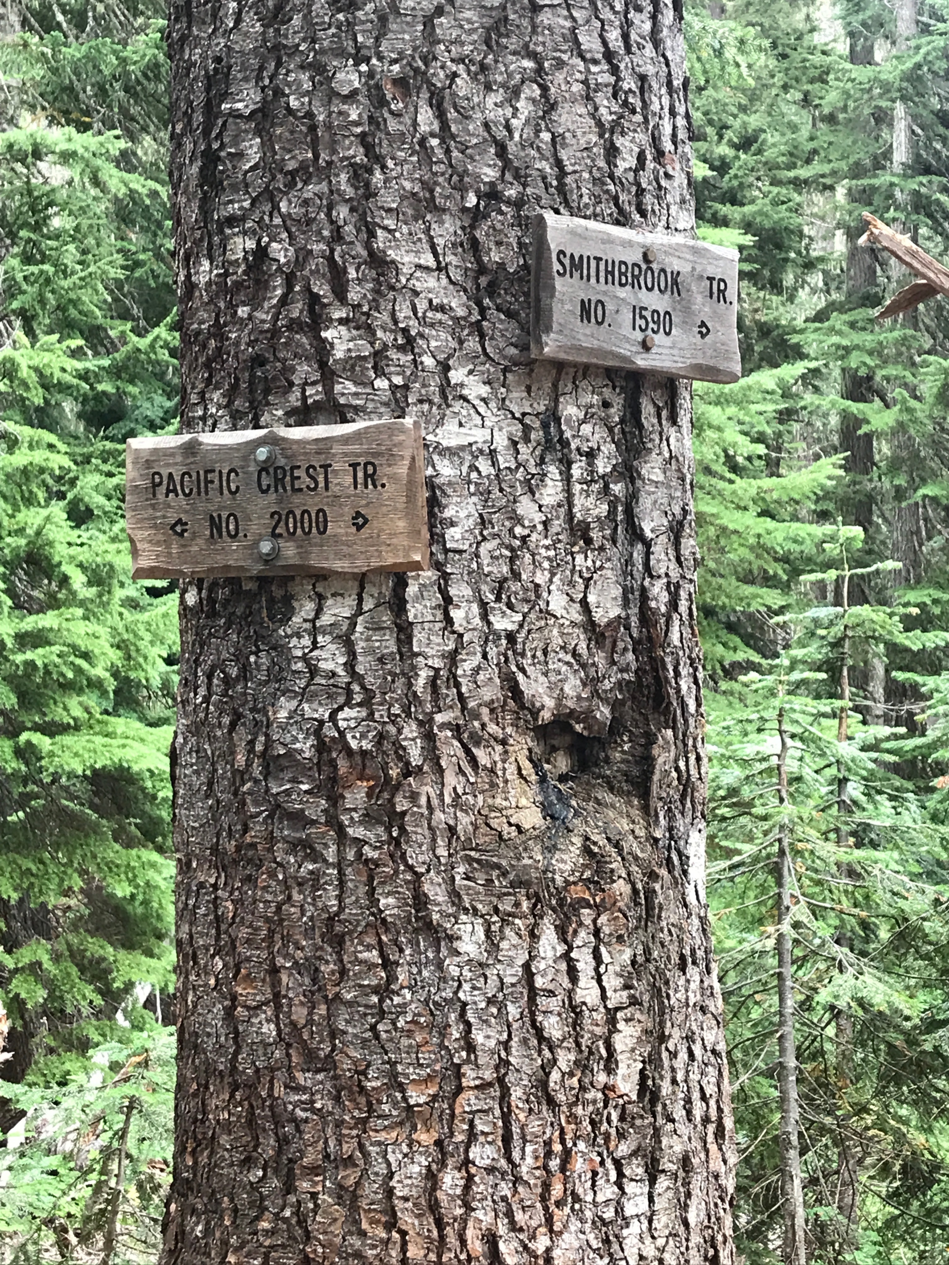
From I-5, take Hwy 2 east. Four miles after the pass, the highway divides. Look for signs for FR 6700, and a few hundred yards past the divide, take a left turn onto FR 6700. This is also known as the Smithbrook Road. Be careful crossing the westbound lanes of Hwy 2 here: the visibility is poor and the road on the opposite of the highway is difficult to see.
The Smithbrook Road is in decent condition and suitable for passenger cars, though there are bumpy sections and a few isolated areas of potholes. Pass a couple of dispersed campsites and arrive at the trailhead at 2.6 miles. The parking area is large enough for approximately 20 cars, but there are no pit toilets.
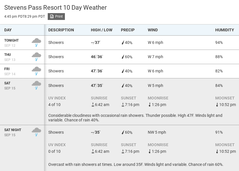
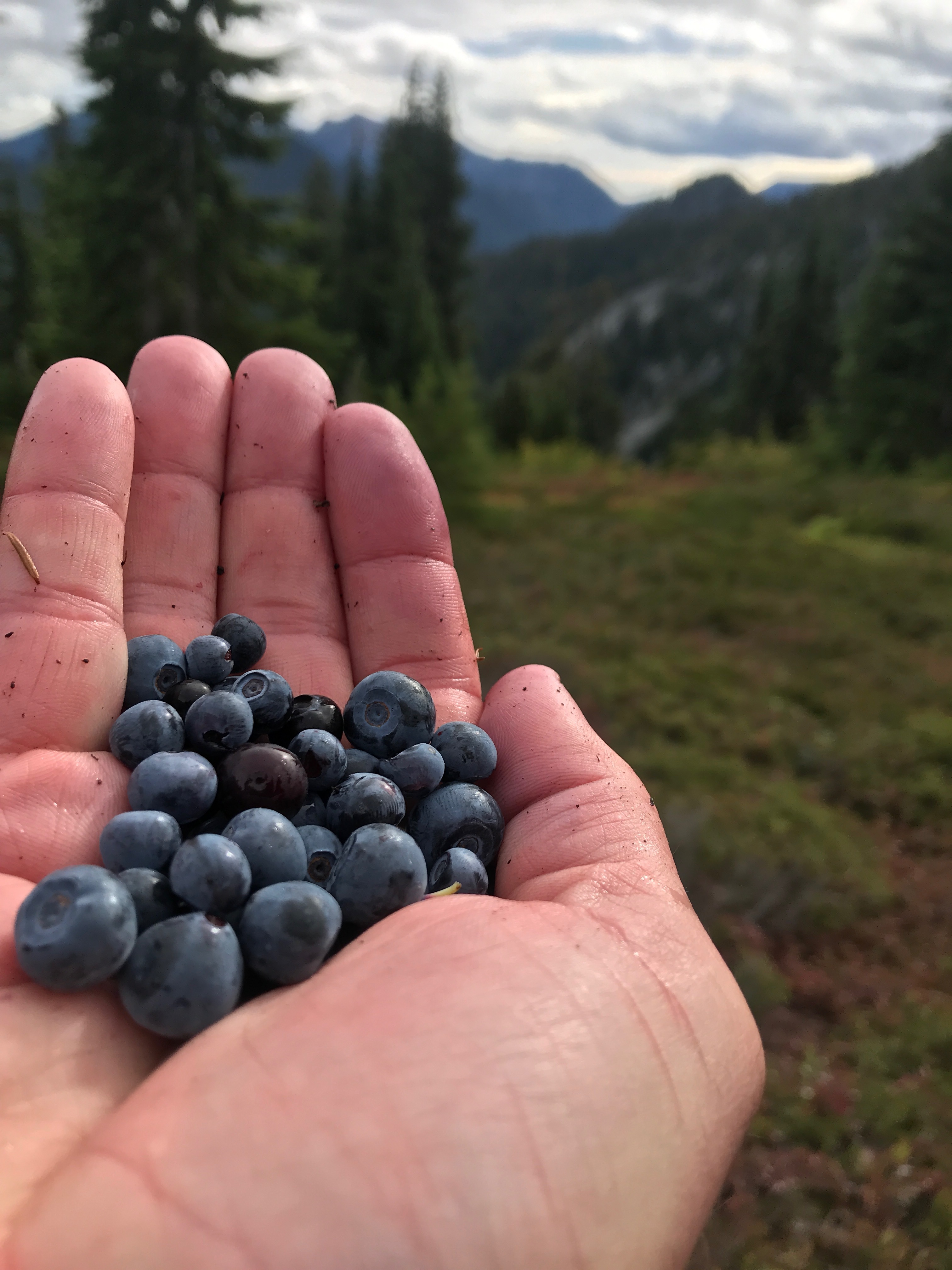
It’s September and Autumn is approaching. The days are shortening and it’s starting to rain again. The hiking season may be drawing down but we can console ourselves with one thing at least.
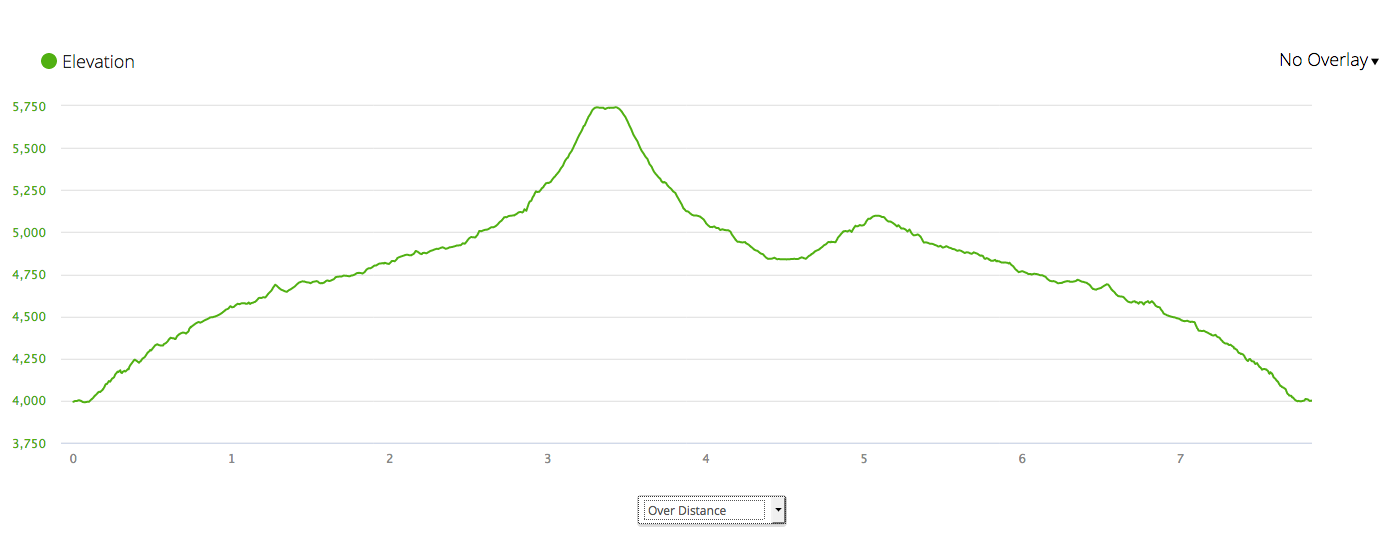
You need to allow for an extra half hour at least for grazing on hike like this. There were lots of them. Mount McCausland and Lake Valhalla are off Highway 2 just east of Stevens Pass. The hike was just under 8 miles and 2000 ft of elevation. We went to first the peak and then to the lake.
Pro tip: Instead of the pick and eat, pick and eat routine, force yourself to pick berries until you have a big handful and then eat them all at once. Trust me.


 On we sweep with threshing oar