Green Mountain Hike

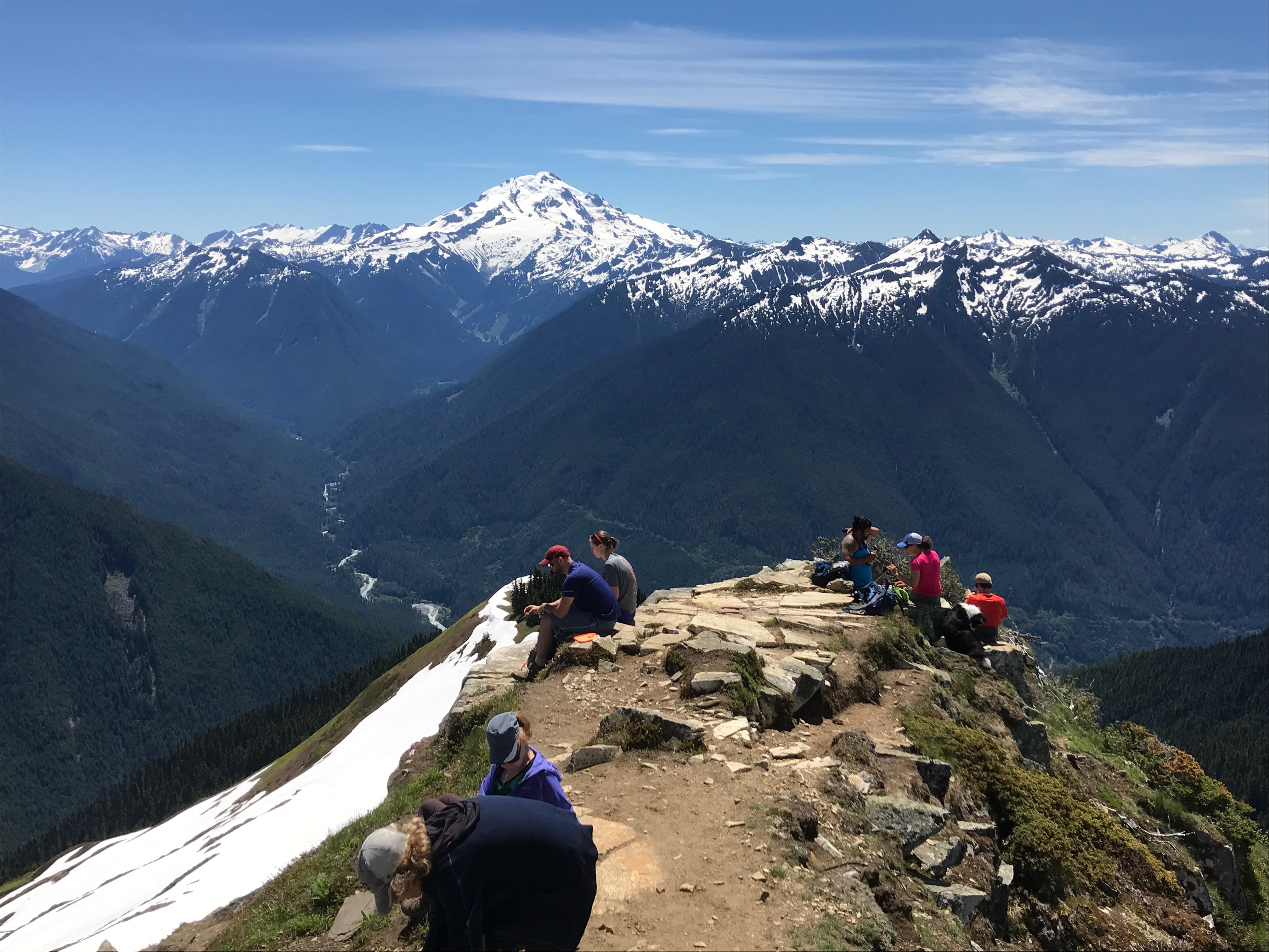
Green Mountain is an 8.5 mile, 3,300 ft. elevation gain hike in the North Cascades. The WTA hiking guide has this to say.

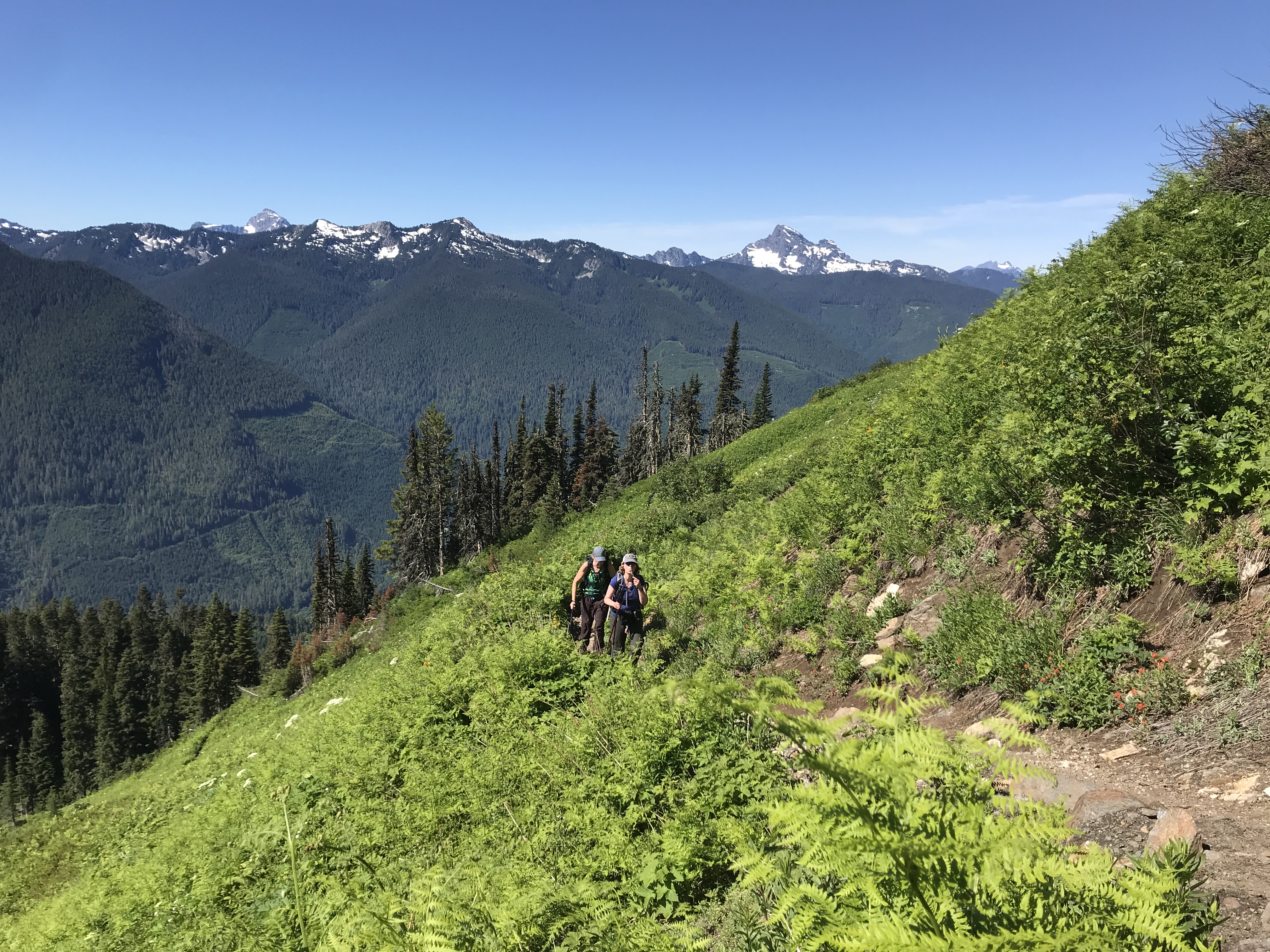
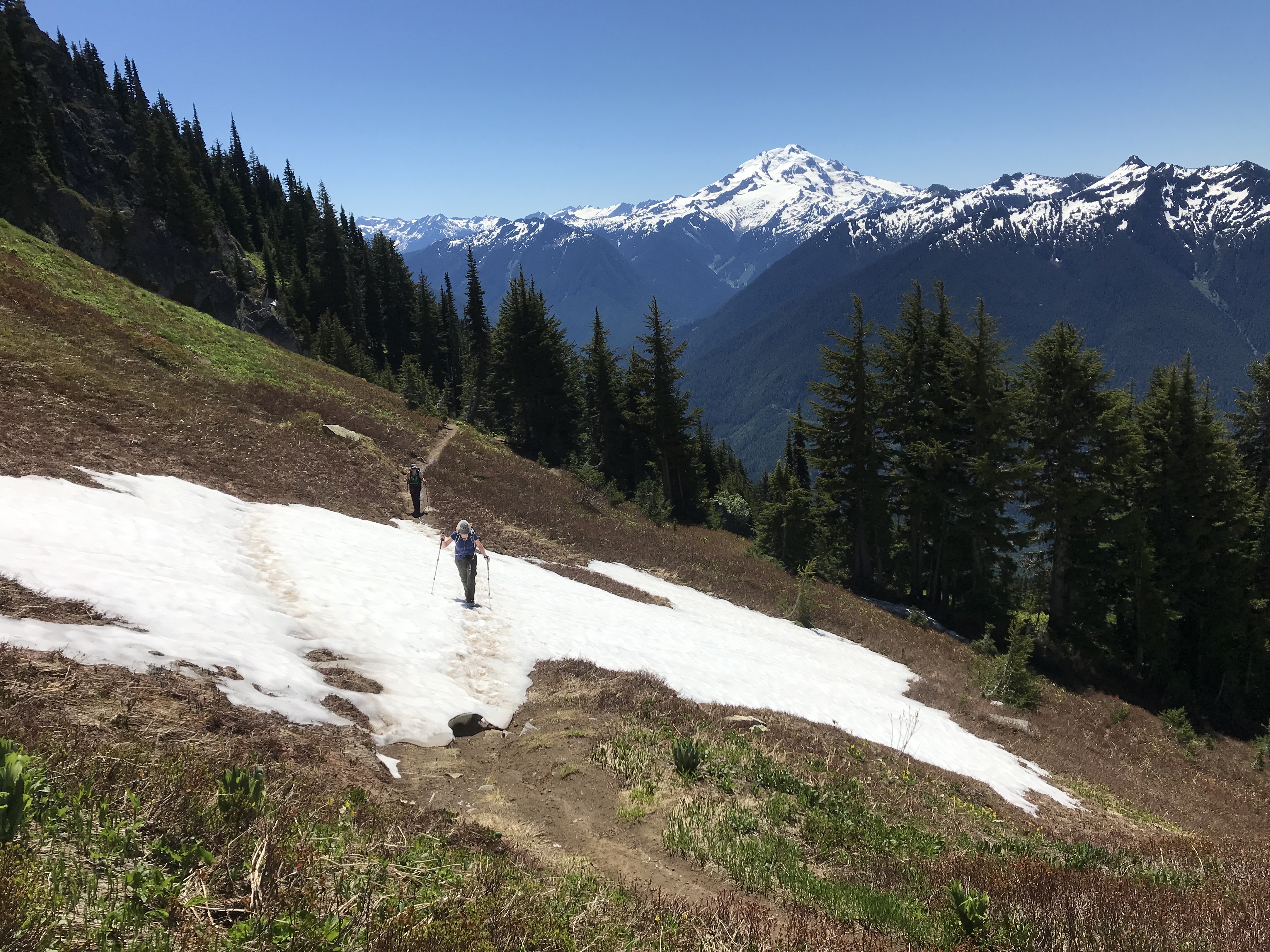
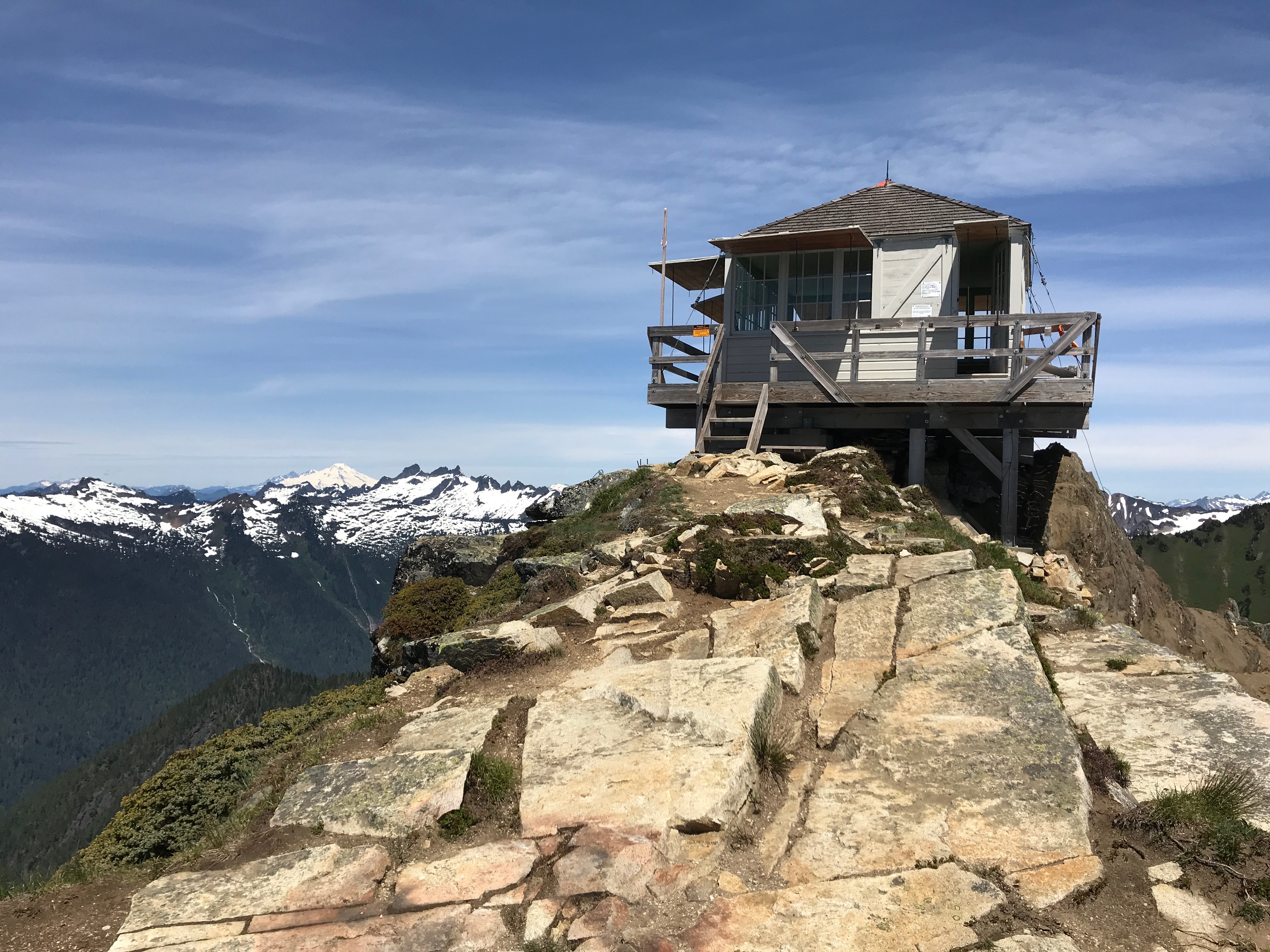
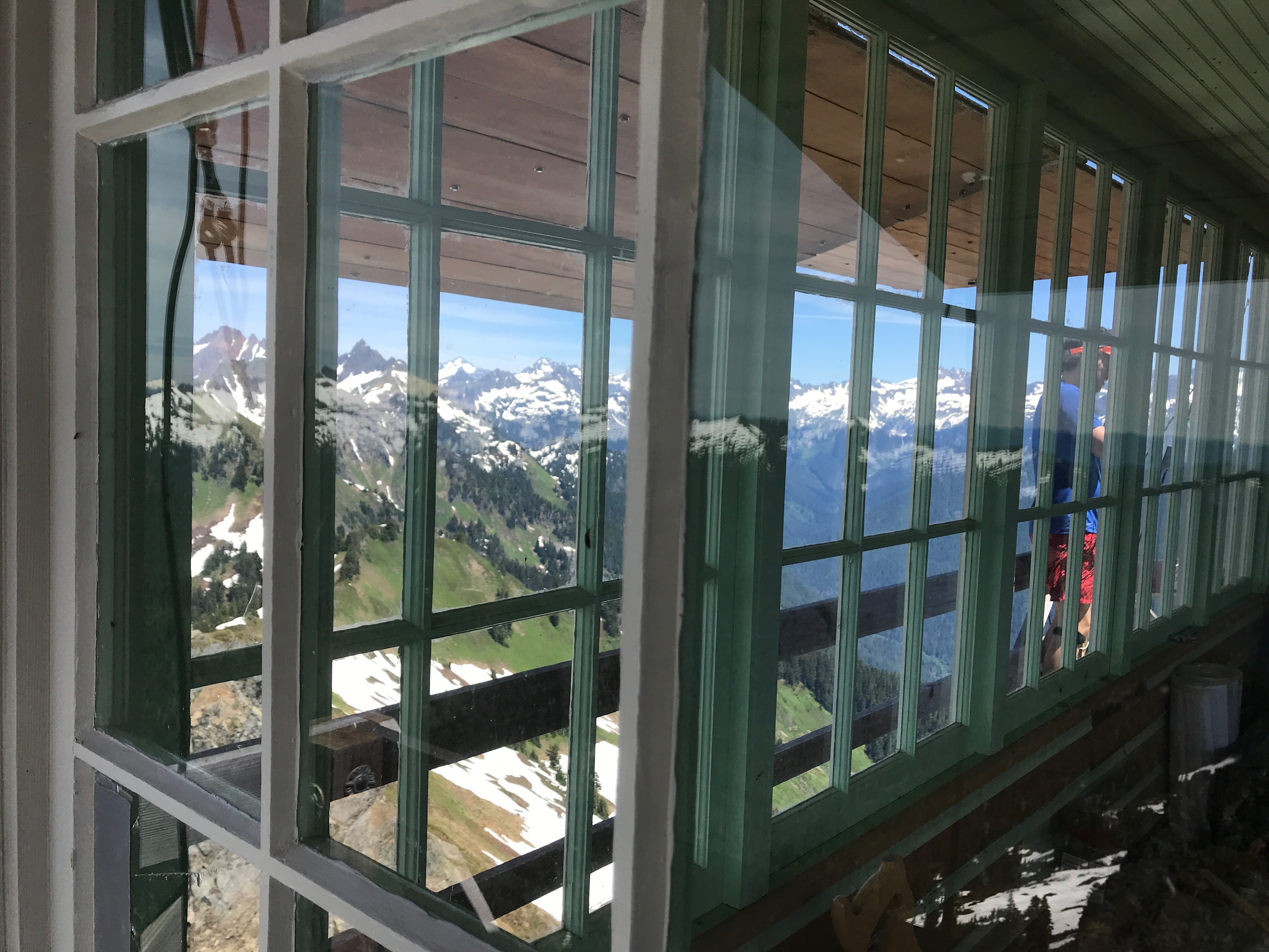
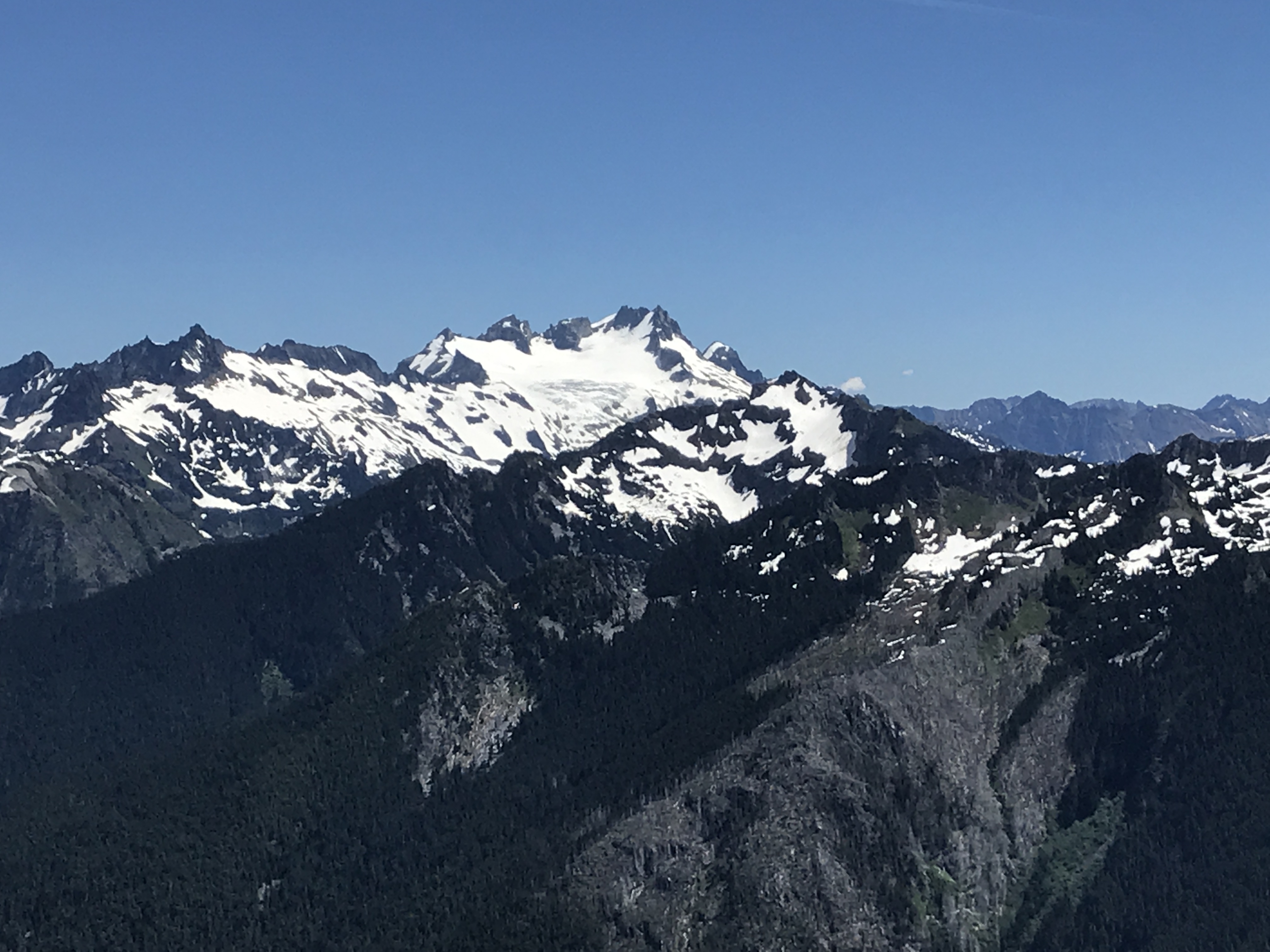
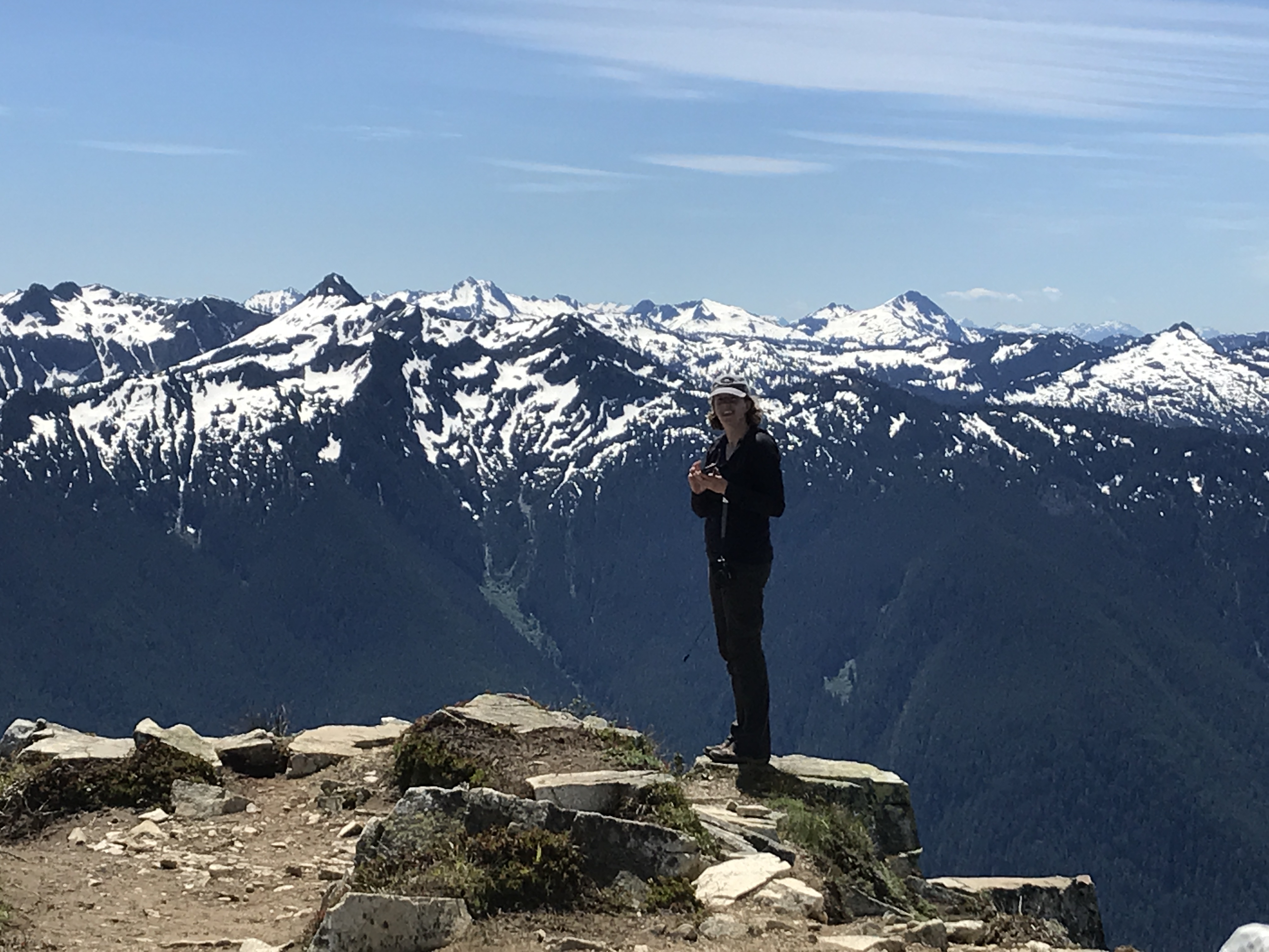
In a state with so many places offering a day’s walk to big, peaky views, Green Mountain still makes the short-list of Washington’s all-time finest hikes. From woods to meadows to panoramic views and even a historic lookout, it just doesn’t get much better than this.

Driving Directions

From Darrington


White Horse Mountain from Darrington

travel north on State Route 530 for 7.5 miles, turning right immediately after the Sauk River bridge onto Forest Road 26 (Suiattle River Road). You’ll need to drive 25 miles, most of it on dirt roads. There is one turn (to the left) at around 19 miles in. There are good signs pointing the way.

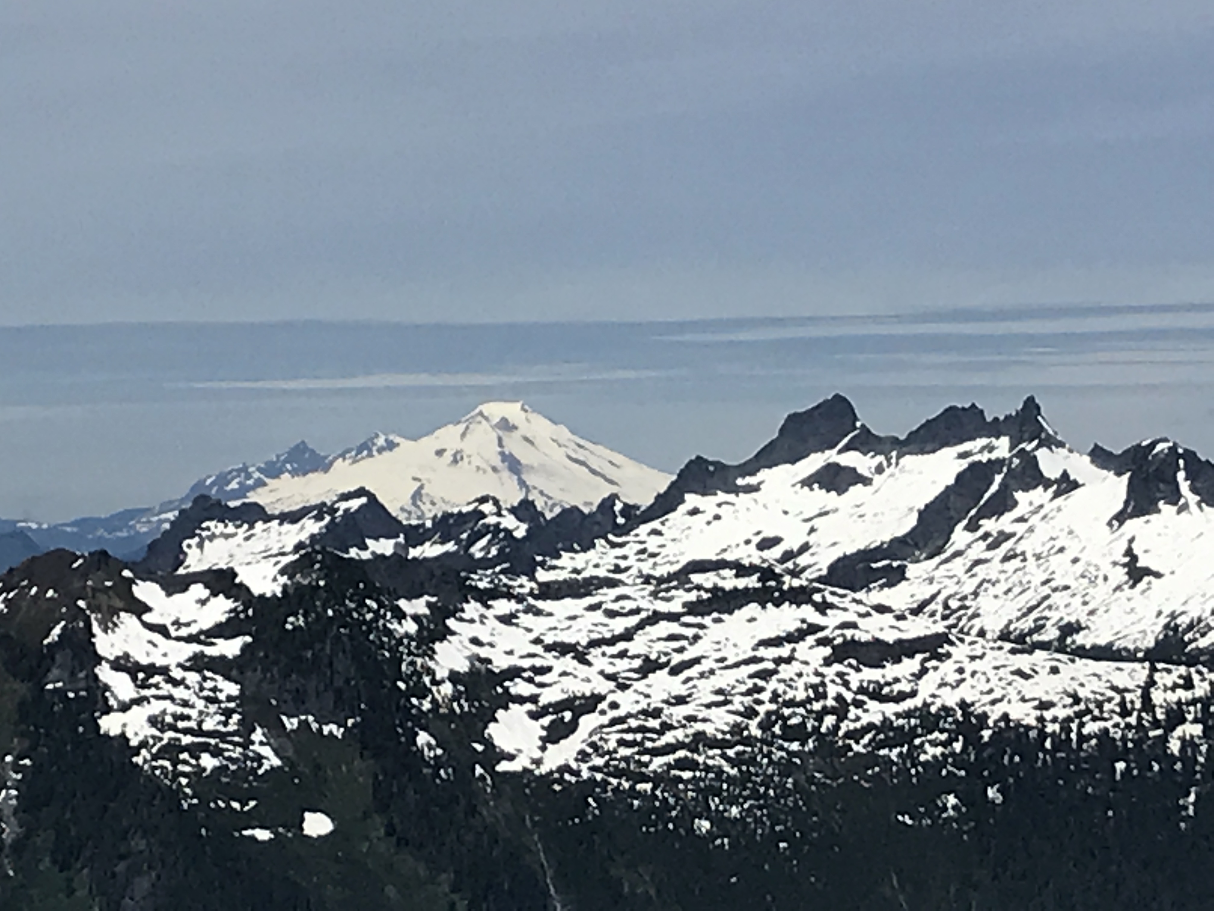
In my experience the hikes in the North Cascades always have amazing views. Maybe this is just because I only go to the best ones. It does take longer to get there than the more popular I-90 and Hwy 2 hikes but even so, on Sunday we got up at 5 and by noon we were here


Throngs at the top

and we were back home at 7:30. It’s not a bad way to spend a day.

The trail combined several different types of hiking. The first mile and half was in a forest with lots of fungi.


Mature coral fungus


I think this is pre-bloom coral fungus but I’m not sure. They look like asparagus spears.

After leaving the forest, you get to a southern exposed meadow with lots of flowers (mostly tiger lilies)


This area will be full of blueberries in the Fall

Then you swing around the south side of this peak and descend slightly to an area with a small lake. There was still a lot of snow here.


Lake with Scout, a friend we met along the trail


It’s melting fast but there’s still plenty of snow.

When you clear the lake you can see the lookout at the top of Green Mountain


The lookout is right in the middle at the top of this picture

The last section is a steep switchback path up to a ridge. Along the way there are some snow patches and perhaps some wildlife


Marmot. We saw about three of these little ones

Along most of the way Glacier Peak looms to the south

When you get to the ridge you get the first views to the east

And you get a view of the final destination.

The lookout was originally built in 1932 but the current version dates from this century.

There were a couple of young women volunteers spending the weekend there who were nice enough to give me a tour and a short history lesson.


Nice view to wake up to

The views from the lookout covered all 360 degrees.


North view


Dome Peak to the east


Sloan Peak to the west


Mount Baker


Bonanza Peak, the tallest non-volcanic peak in Washington


Laura and the view to the south

The route was a little hard to find in the snow section but otherwise well kept.

The road up to the trail head is long and bumpy.

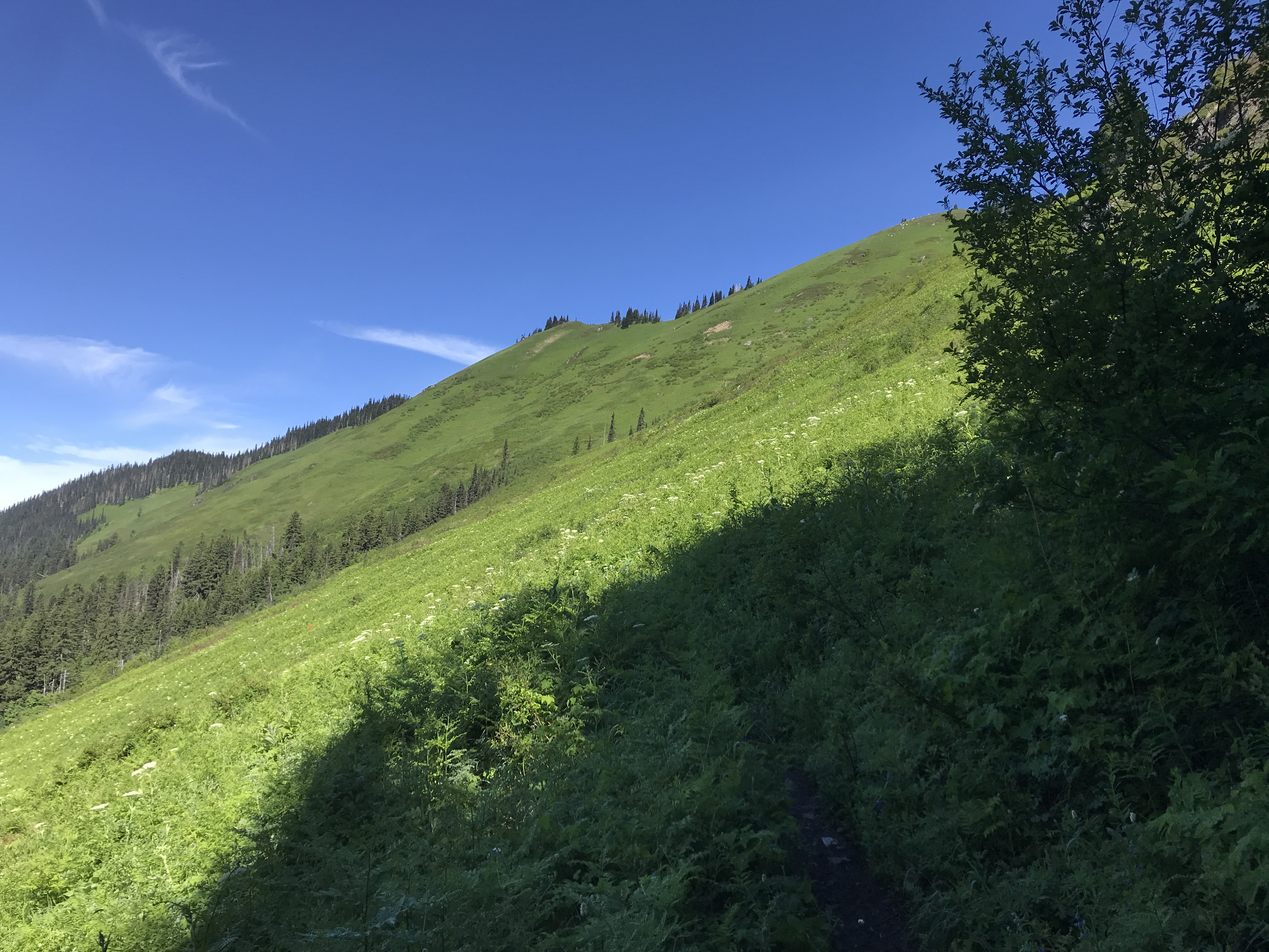
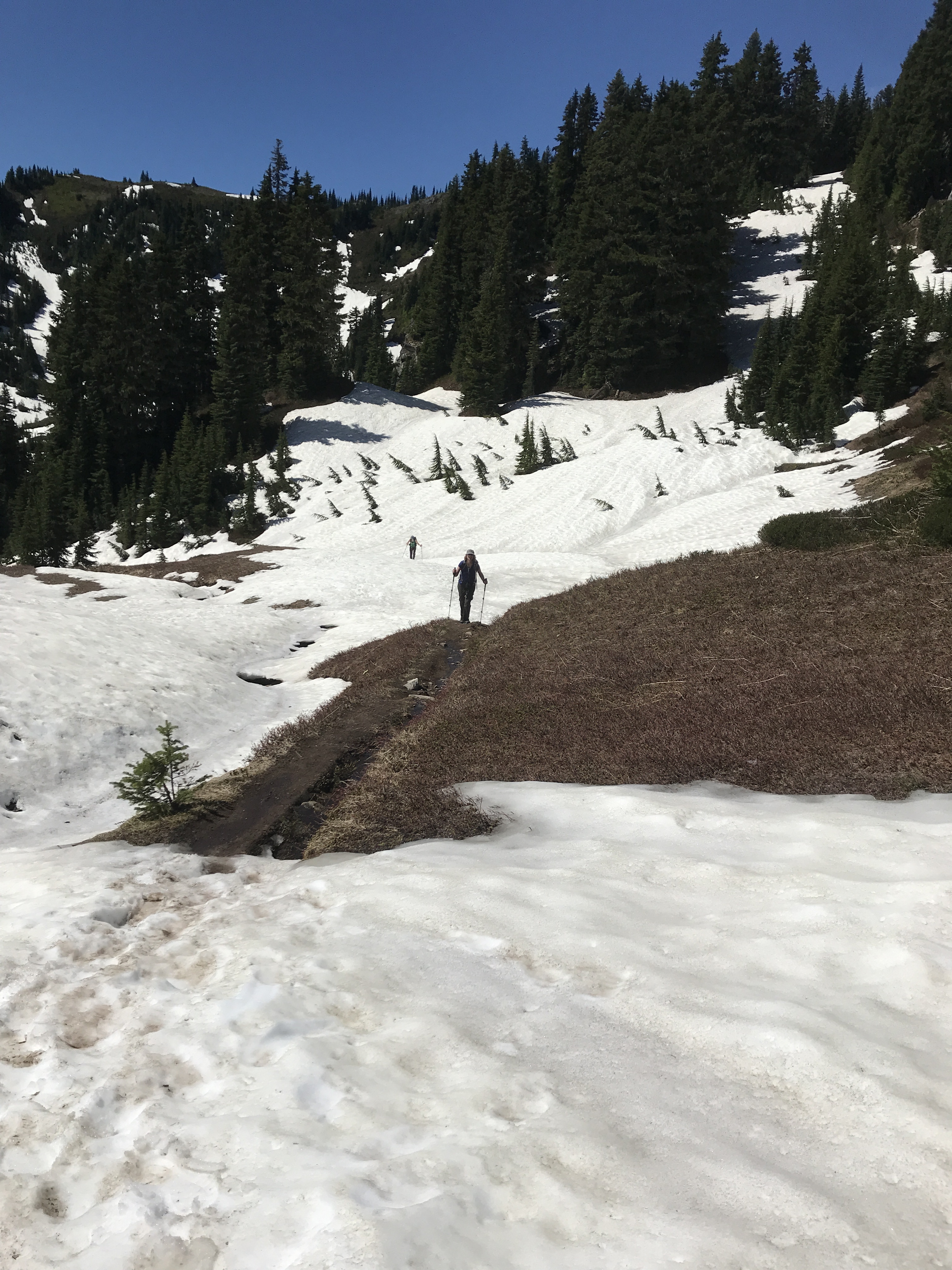
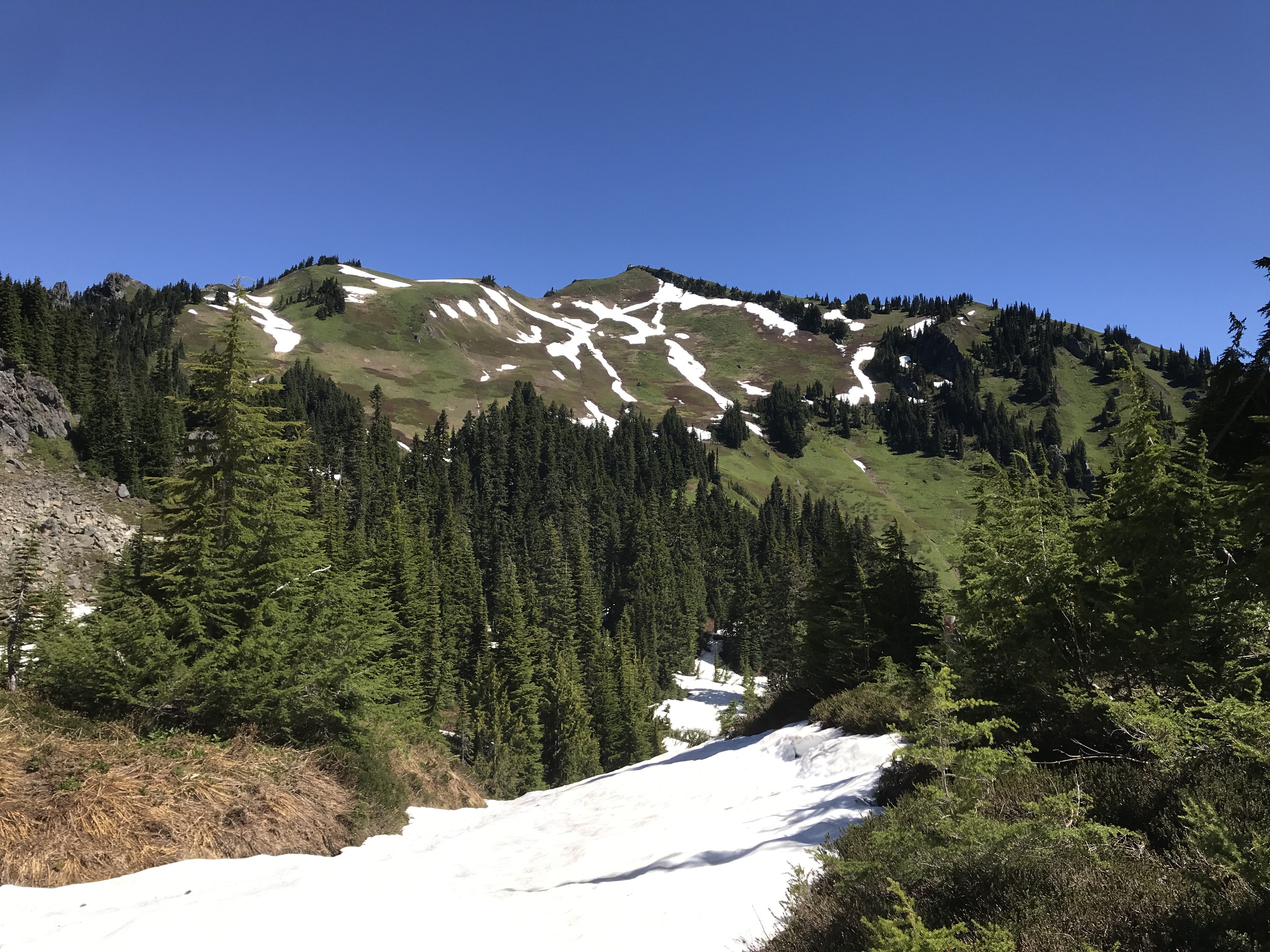
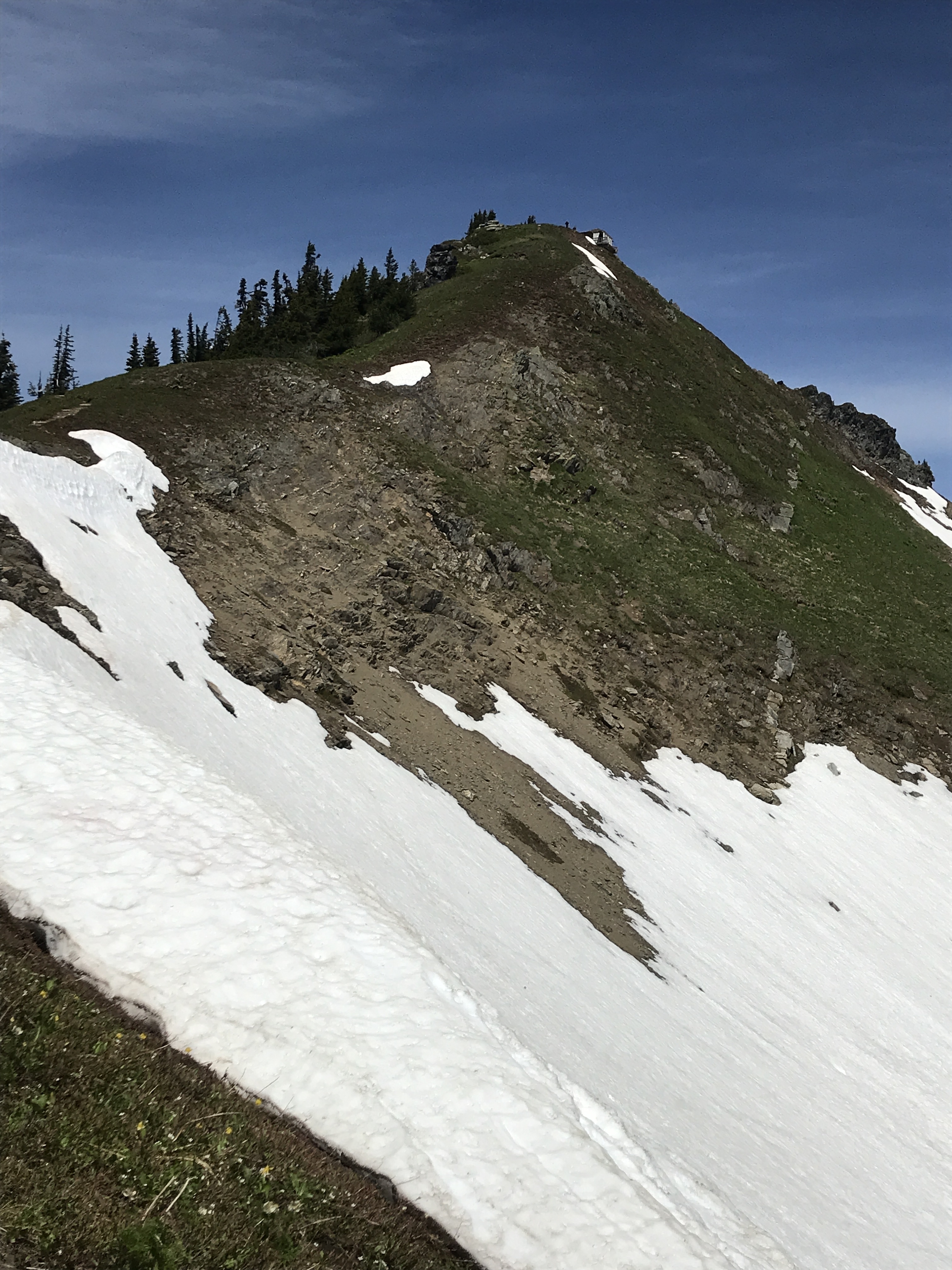
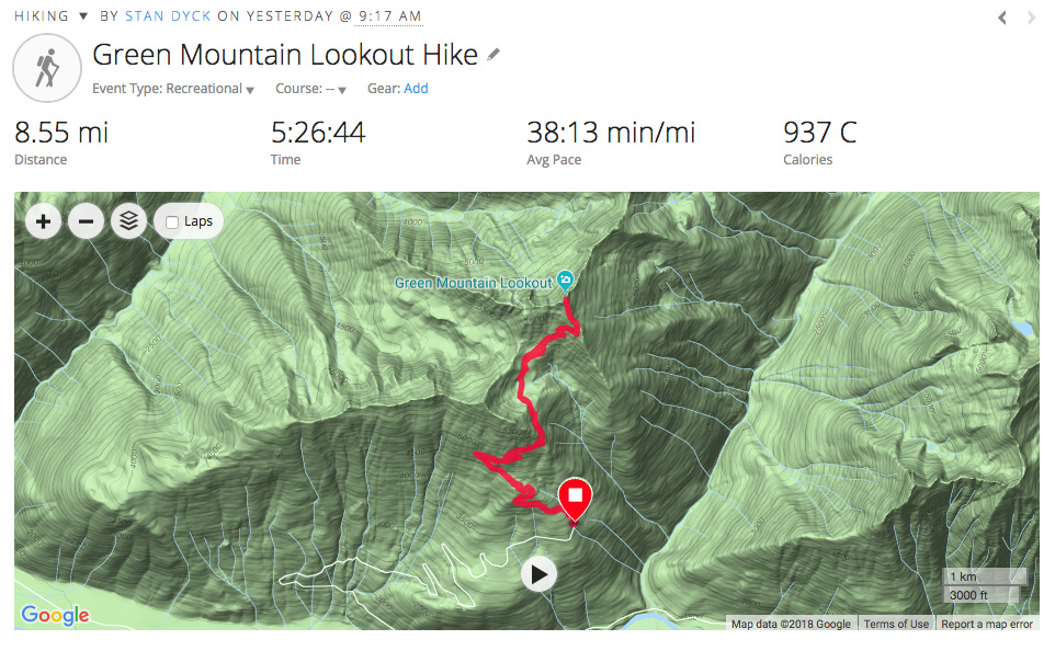
The elevation profile shows the descending section at about the 3 mile mark and the steep section beyond to the lookout. In the Fall there should be lots of color in the meadow and lots of blueberries. If you don’t mind a long drive this one is worth taking the time to go.